


| Holiday 2002 Trans Mongolia Express and China |
Russia encompasses several distinct climate zones, which generally extend across the
country in east-west belts. Along the Arctic coast a tundra climate extends south in the
far eastern region on upper mountain slopes. To the south is a broad belt of subarctic
climate that reaches the city of St Petersburg and broadens east of the Urals to envelop
most of Siberia and far eastern Russia.
A more temperate continental climate occupies most of European Russia. This belt is
widest in the west, stretching from the Baltic Sea to the Black Sea, then tapering
eastward to include a narrow strip of the southern West Siberian Plain. It is also
found in extreme southeast Russia. Moscow, which lies in this climate zone, averages
-9°C (15°F) in January and 19°C (66°F) in July.
A broad belt of drier steppe climate with colder winters begins along the Black Sea
coast and extends northeast across the lower Volga Valley, the southern Urals, and the
southern part of western Siberia. It continues eastward in isolated mountain basins
along the extreme fringes of Siberia and far eastern Russia, and in the North Caucasian
Plain.
The countrys harsh climate reflects its high latitude and the absence of moderating
maritime influences. Winters are long and cold, and summers are short and relatively cool.
Temperature extremes are common. The coldest winter temperatures occur in eastern Siberia.
Verkhoyansk, in the northern part of the region, is often called the cold pole of the
world. During January, temperatures average -49°C (-56°F) and have plummeted
to close to -68°C (-90°F). Although absolute temperatures during winter are
somewhat higher along the Arctic and Pacific coasts, the winds are strong, dropping
wind-chill factors to below -50°C (-58°F). In northern regions, frequent
featureless, overcast skies, particularly during winter, have earned the name
pasmurno, or dull, dreary weather. During December, Moscow averages 23 days with
overcast skies.
The same conditions that make for cold temperatures during winter in the
northeastisolation from the sea and narrow valleys between mountainsproduce air
stagnation in summer, which allows for strong heating under nearly continuous daylight
periods at these high latitudes. Temperature extremes in Verkhoyansk have fallen to
-68°C (-90°F) and risen to 35°C (95°F)the worlds largest temperature
range at 102.8°C (185°F).
Annual precipitation in most of the country is only light to modest. Cool air has
little capacity to hold water vapour. Across the European Plain, average annual
precipitation decreases from more than 800 millimetres (31 inches) in western Russia
to about half that along the Caspian Sea coast.
Throughout Siberia and the far eastern region, annual precipitation ranges from 508
to 813 millimetres (20 to 32 inches), with more in higher elevations and less in
interior basins.
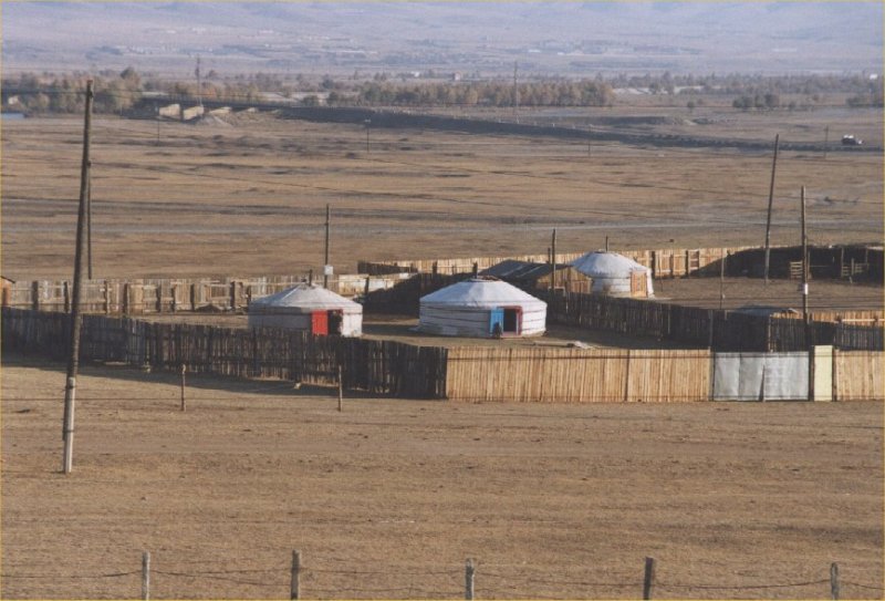
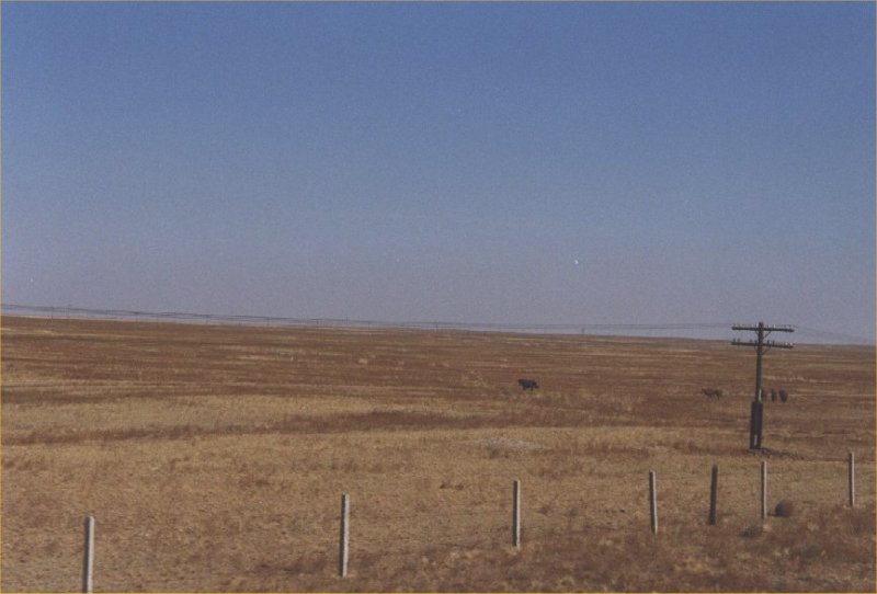
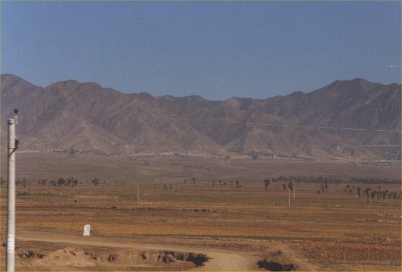
Mongolias climate is harsh, with temperatures ranging from -30° to -15°C
(-22° to 5°F) in winter and 10° to 27° C (50° to 81° F)
in summer. Winters are dry, and summer rainfall seldom exceeds 380 millimetres (15
inches) in the mountains and 125 millimetres (5 inches) in the desert.
Almost 90 per cent of Mongolia is either pasture or desert. Its fragile soils are prone
to overgrazingthe country has one of the worlds highest ratios of livestock to people.
Agricultural production has been on the rise since 1980, but it has not kept up with
population growth. Access to urban sanitation is good, but safe water is scarce in
rural areas.
The burning of soft coal and the concentration of factories in Ulaanbaatar, the
capital, have severely polluted the air. The country also suffers from deforestation,
desertification, and soil erosion. Currently, 4 per cent (1992) of the country is
protected, with the government having established 12 conservation zones. Among these
is the Big Gobi Nature Preserve, 5 million hectares (12.4 million acres) in area.
The three longest river systems in China are the Yangzi, Huang He, and Xi Jiang, all
of which flow in a generally west to east direction to the Pacific Ocean. About 50 per
cent of the total land area of China drains to the Pacific. Ten per cent drains to the
Indian and Arctic oceans. The remaining 40 per cent have no outlet to the sea and drain
to the arid basins of the west and north, where the streams either evaporate or percolate
to form deep underground water reserves. The Tarim He is principal among these streams.
The northernmost major stream of China is the Amur, which forms most of the northeastern
border with Russia. The major river of North China is the Huang He, called Chinas
Sorrow because of its devastating flooding throughout history.
The Yangzi River of central China is the longest river in Asia. A major transport
artery, the Yangzi rises near the source of the Huang He, has a vast drainage basin,
and enters the sea at Shanghai. The most important river system of southern China is
the Xi Jiang.
Most of the important lakes of China are situated along the middle and lower Yangzi
Gorges. The two largest in the middle section are Dongting Hu and Poyang Hu. In summer,
they increase their area by two to three times, serving as reservoirs for excess water.
The Tibetan Plateau contains many large saline lakes. The largest of these is the marshy
Qinghai Hu.
The Asian monsoon exerts the primary control on Chinas climate. In winter, cold, dry
winds blow out of the high-pressure system of central Siberia, bringing low temperatures
to all regions north of the Yangzi River and drought to most of the country. In summer,
warm, moist air flows inland from the Pacific Ocean, producing rainfall in the form of
cyclones. There is much less rain further from the sea and on leeward sides of mountains.
The remote basins of the northwest receive little precipitation. Summer temperatures are
remarkably uniform throughout most of the country, but winters are characterized by
extreme variations in temperature between north and south.
Southeastern China, from the Yangzi Gorges southwards, has a subtropical climate that
becomes distinctly tropical in the extreme south. Summer temperatures in this region
average 26°C (79°F). Average winter temperatures decline from 18°C (64°F)
in the tropical south to about 4°C (39°F) along the Yangzi River. An
average of eight typhoons a year, mainly between July and November, bring high winds
and heavy rains to the coastal areas. The mountainous plateaus and basins to the southwest
also have subtropical climates, with considerable local variation. As a result of higher
elevations, summers are cooler, and as a consequence of protection from northerly winds,
winters are mild. The Sichuan Basin, which has an 11-month growing season, is noted for
high humidity and cloudiness. Rainfall, especially abundant in summer, exceeds 990
millimetres (39 inches) annually in nearly all parts of southern China.
North China, which has no mountain ranges to form a protective barrier against the flow
of air from Siberia, experiences cold, dry winters. January temperatures range from
4°C (39°F) in the extreme south to about -10°C (about 14°F) north of
Beijing and in the higher elevations to the west. July temperatures generally
exceed 26°C (79°F) and, in the Huabei Pingyuan, approach 30°C (86°F).
Almost all the annual rainfall occurs in summer. Annual precipitation totals are
less than 760 millimetres (30 inches) and decrease to the northwest, which has a
drier, steppe climate. Year-to-year variability of precipitation in these areas is
great; this factor, combined with the possibility of dust storms or hail, makes
agriculture precarious. Fog occurs on more than 40 days a year in the east and on
more than 80 days along the coast.
The climate of Dongbei Pingyuan is similar to, but colder than, that of North China.
January temperatures average -18°C (0°F) over much of the Manchurian Plain, and
July temperatures generally exceed 22°C (72°F). Rainfall, concentrated in
summer, averages about 510 to 760 millimetres (20 to 30 inches) in the east but
declines to about 300 millimetres (12 inches) west of the Da Hinggan Ling.
Desert and steppe climates prevail in the Mongolian Borderlands and the northwest.
January temperatures average below -10°C (below 14°F) everywhere except in
the Tarim Basin. July temperatures generally exceed 20°C (68°F). Annual
rainfall totals less than 250 millimetres (10 inches), and most of the area receives
less than 100 millimetres (4 inches).
Its high elevation means that the Tibetan Plateau has an arctic climate; July
temperatures remain below 15°C (below 59°F). The air is clear and dry
throughout the year, with annual precipitation totals of less than 100
millimetres (4 inches) everywhere except in the extreme southeast.
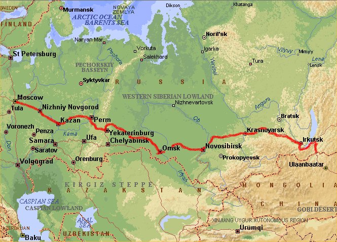
Day 1: Amsterdam - Moskou
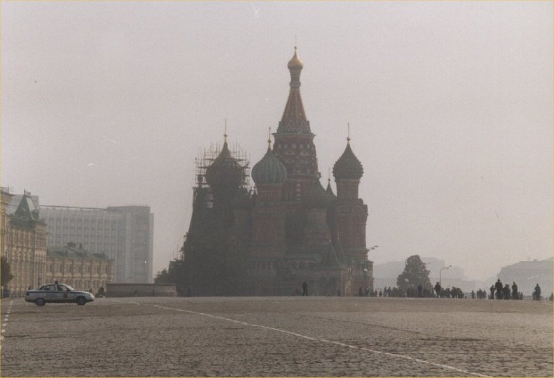
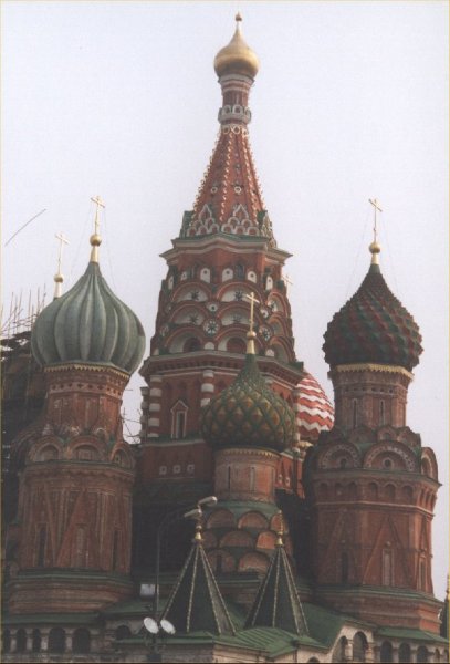
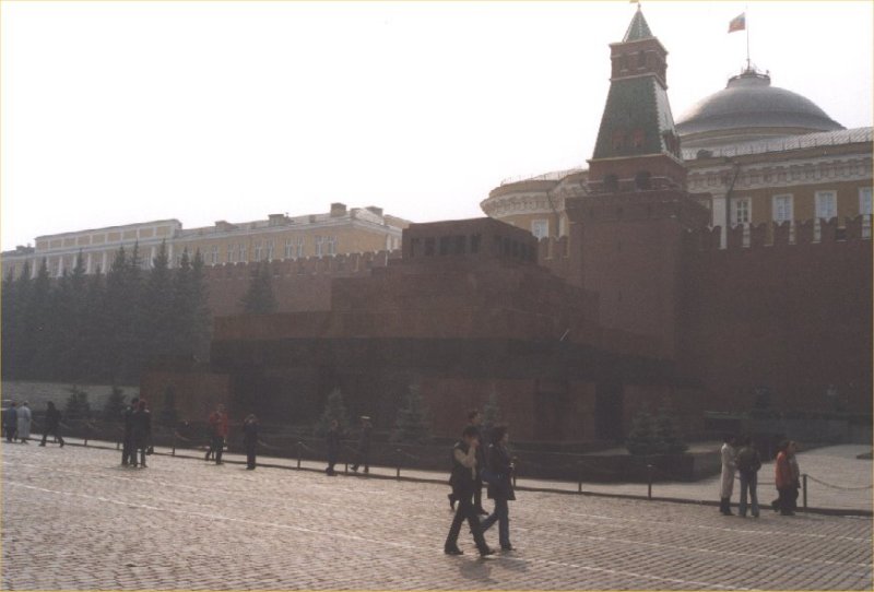
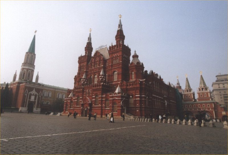
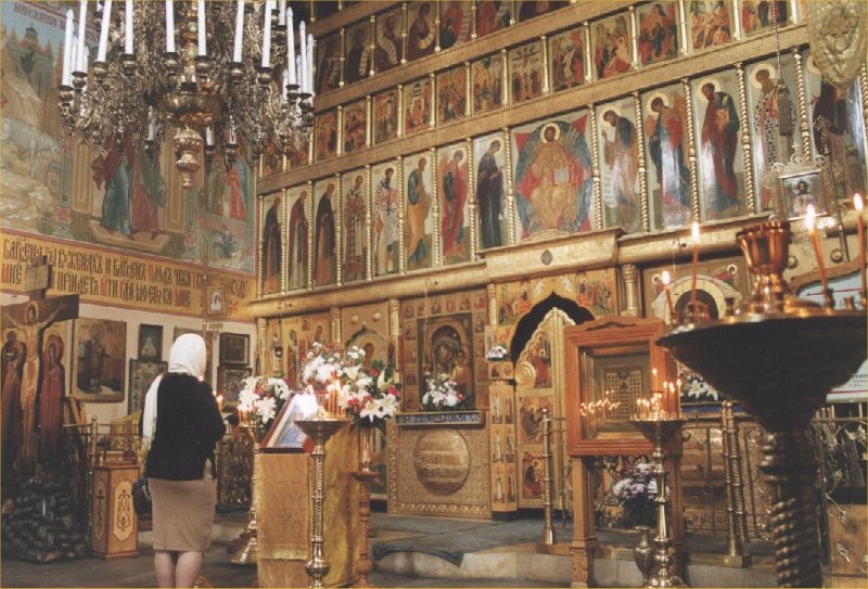
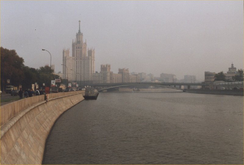
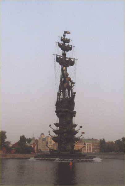
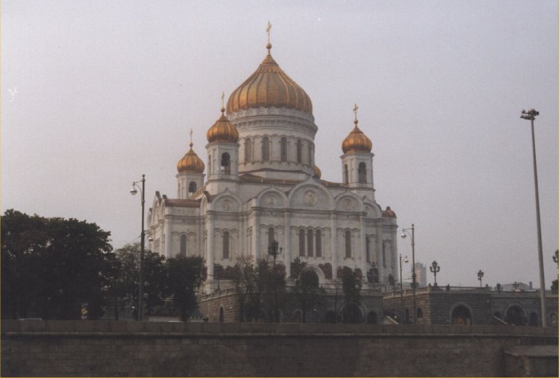
Day 2: Moskou
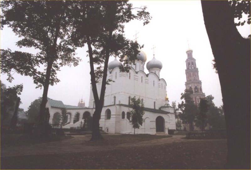

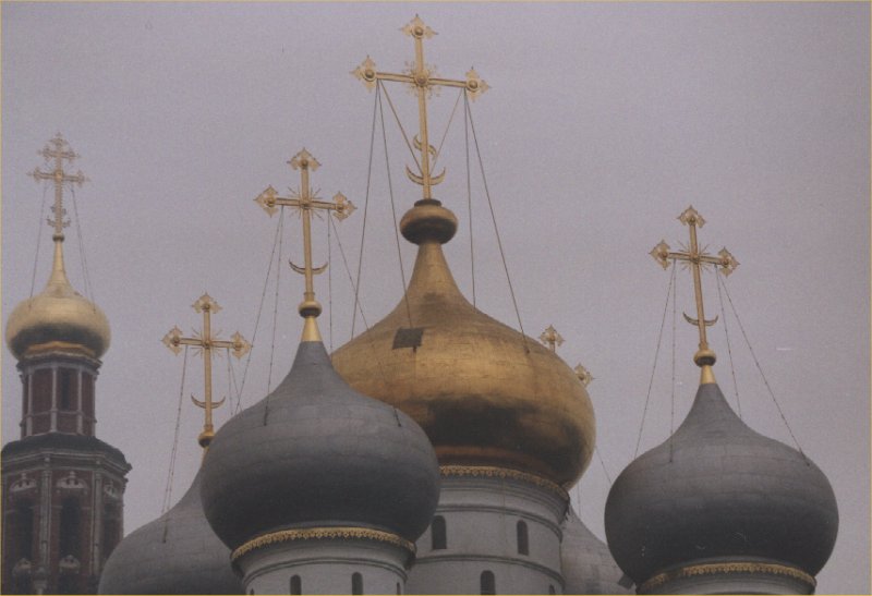

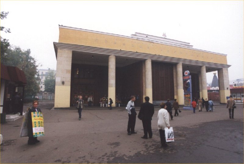


Day 3: Moscow


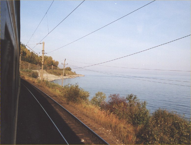
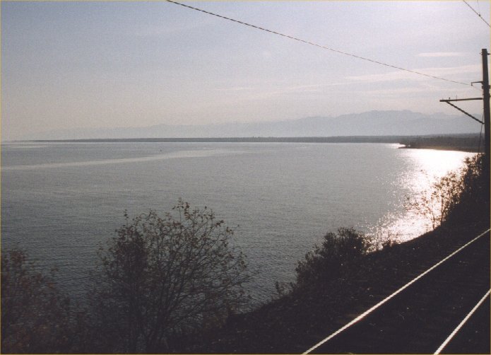
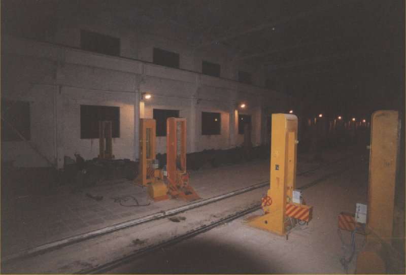
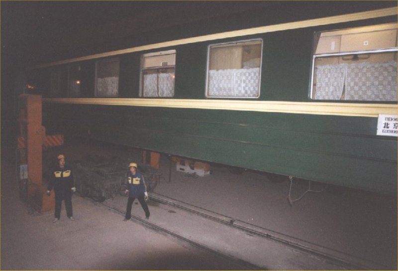
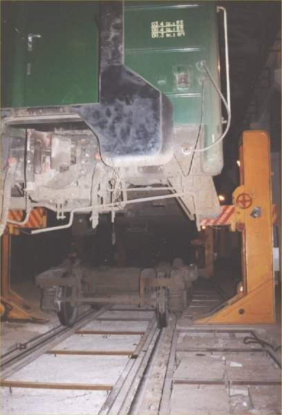
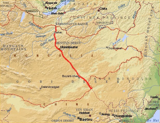
Day 4: Trans Mongolia Express - Russia

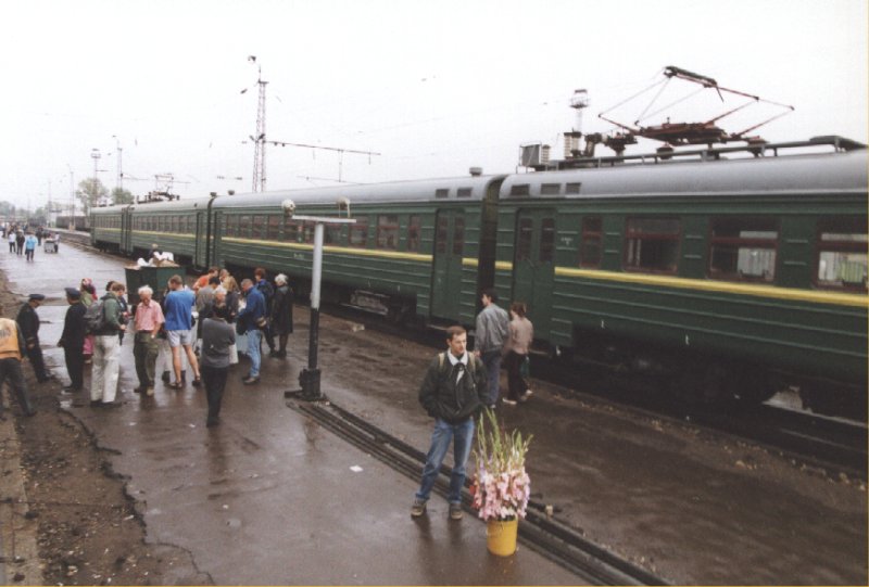

Day 5: Trans Mongolia Express - Russia


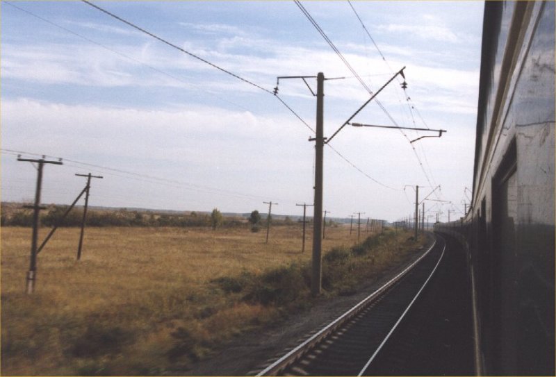
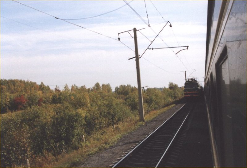
Day 6: Trans Mongolia Express - Russia
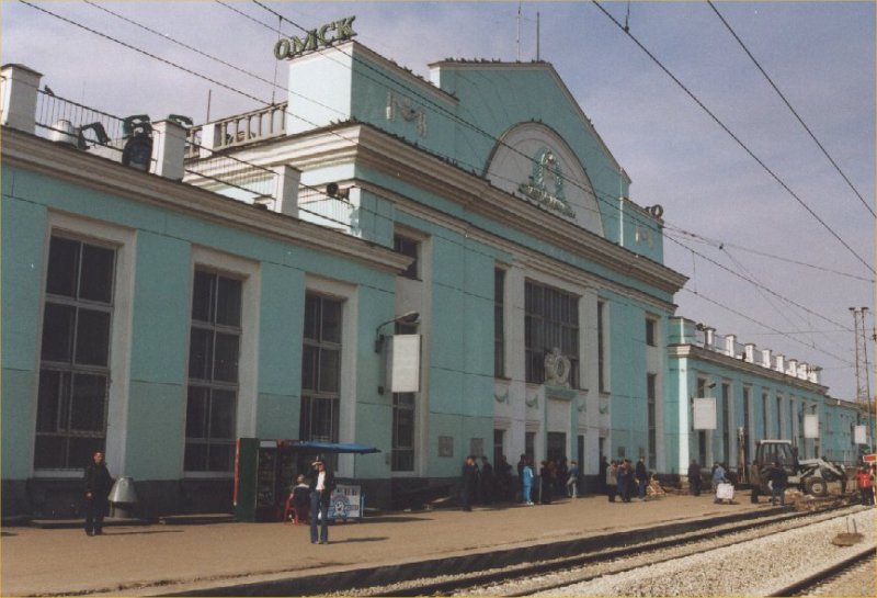


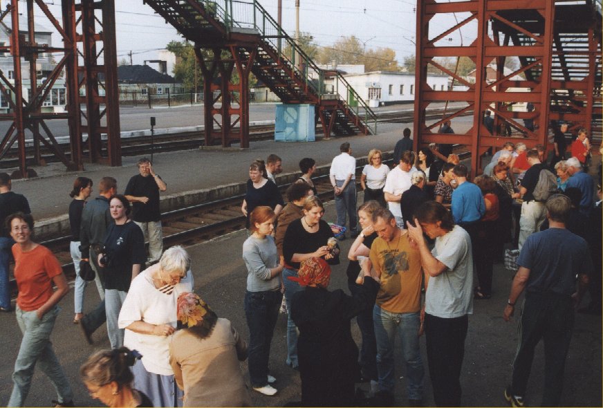
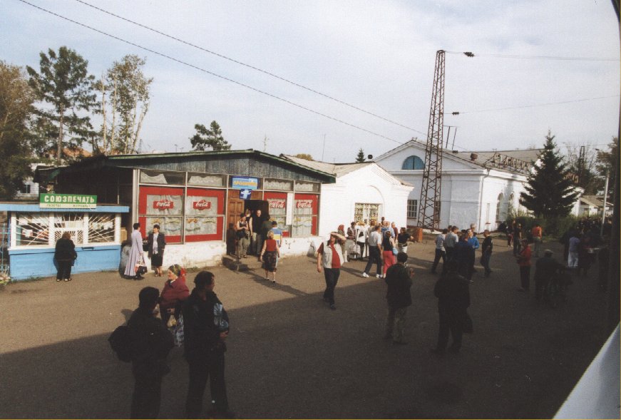
Day 7: Trans Mongolia Express - Russia


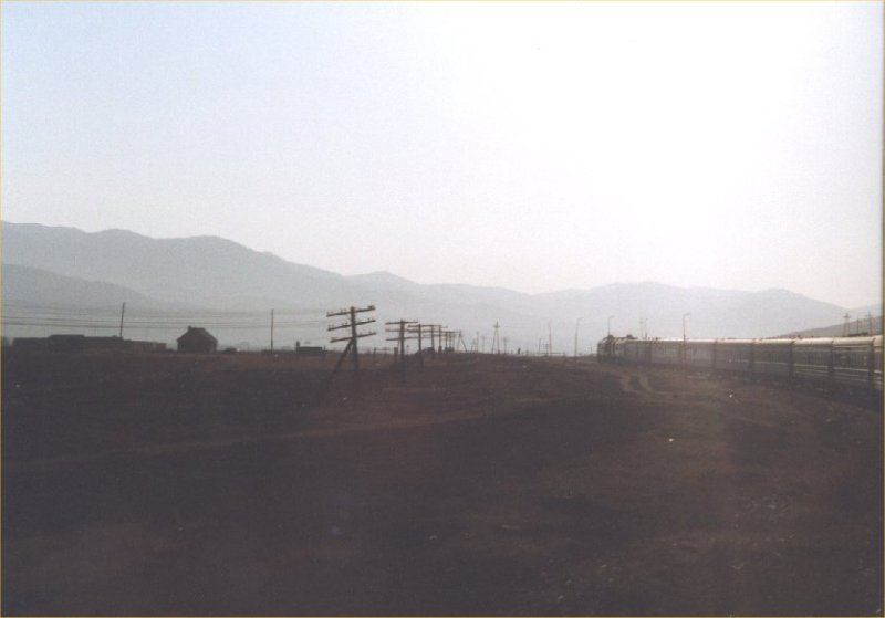
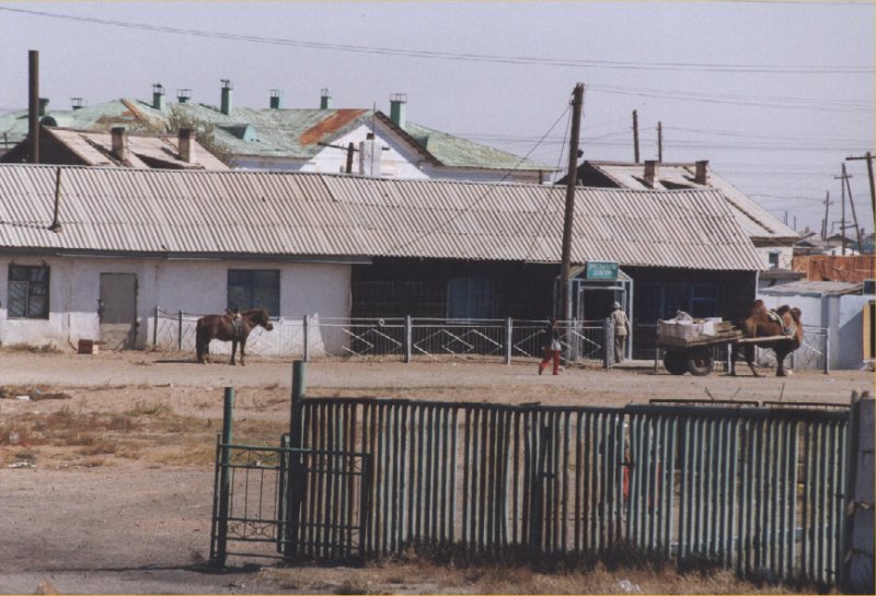
Day 8: Trans Mongolia Express - Mongolia

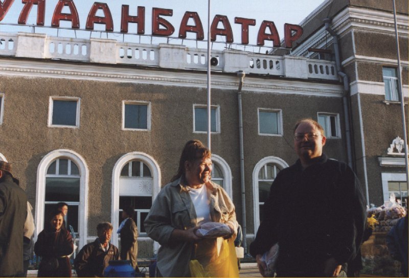
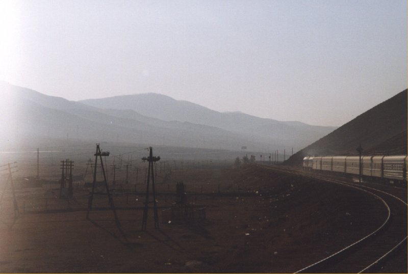
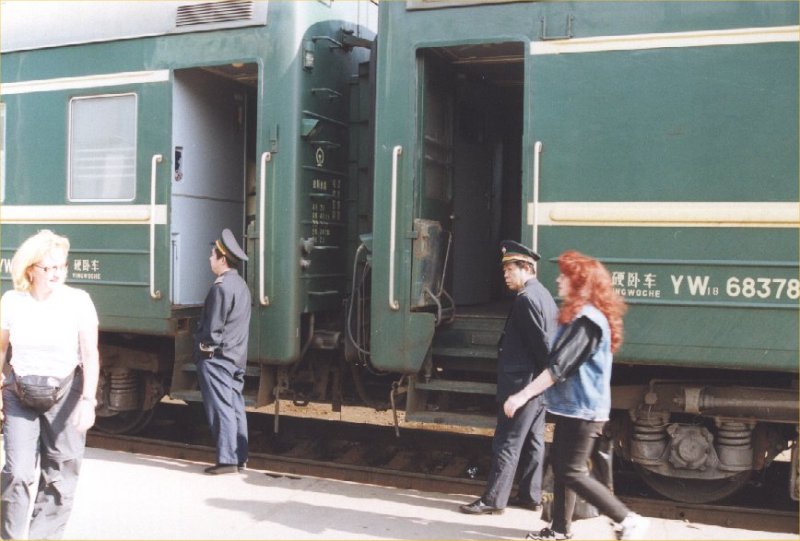
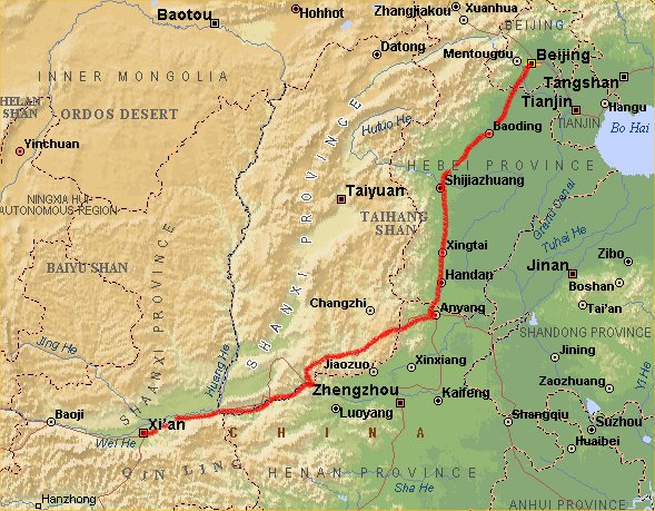
Day 9: Trans Mongolia Express - China


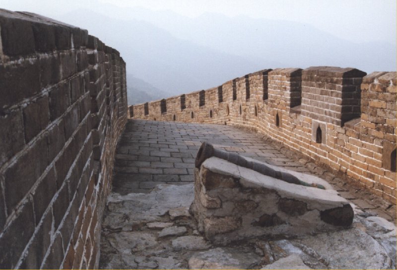
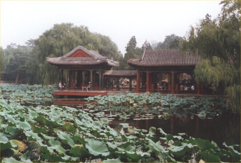
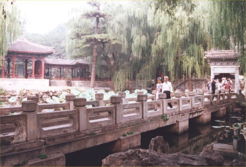
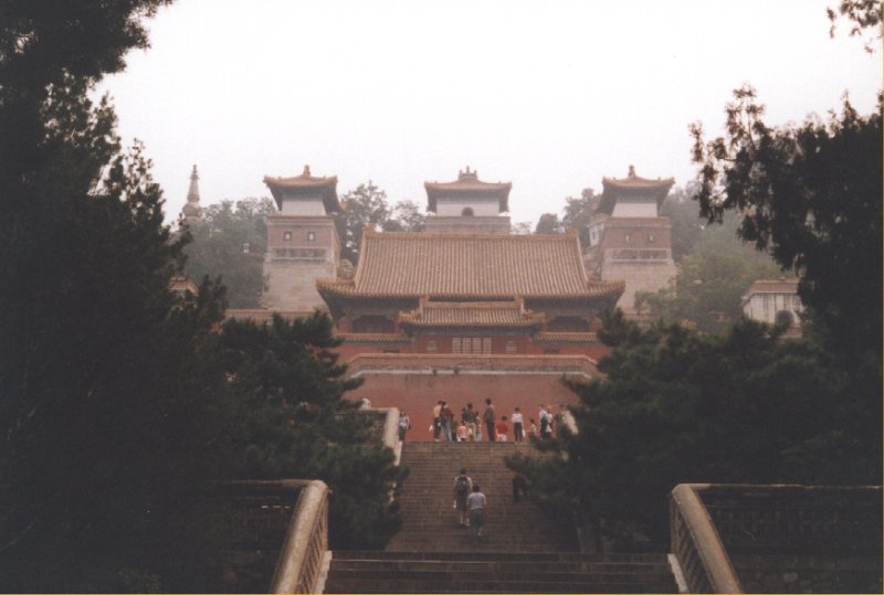
Day 10: Beijing


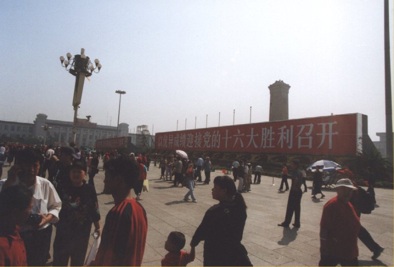


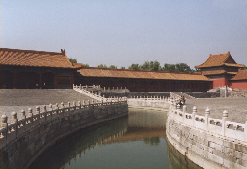
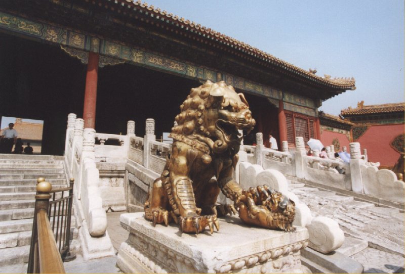


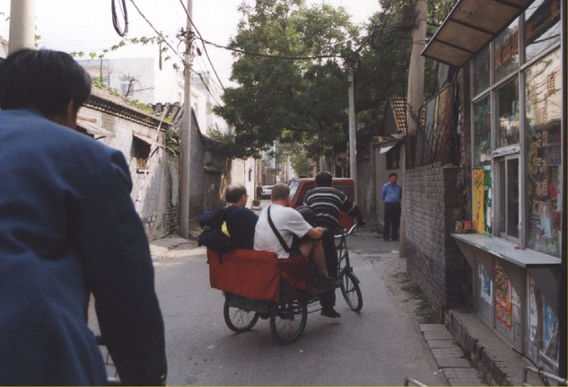

Day 11: Beijing


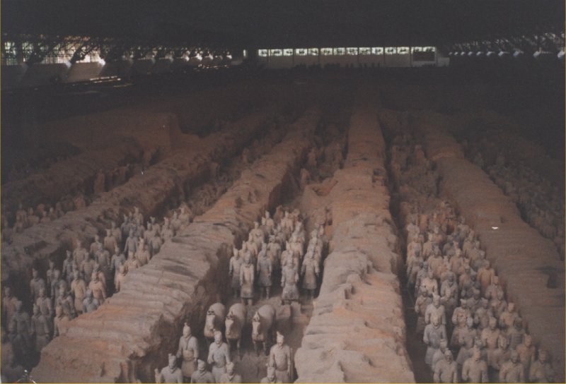
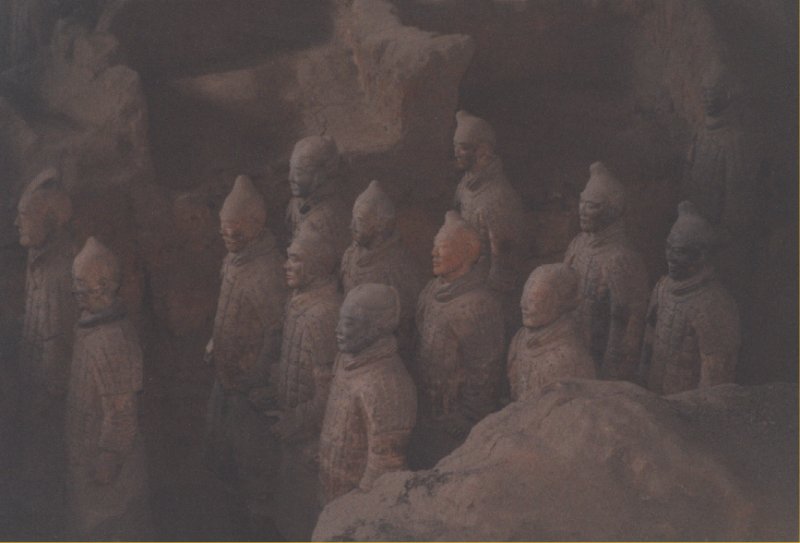
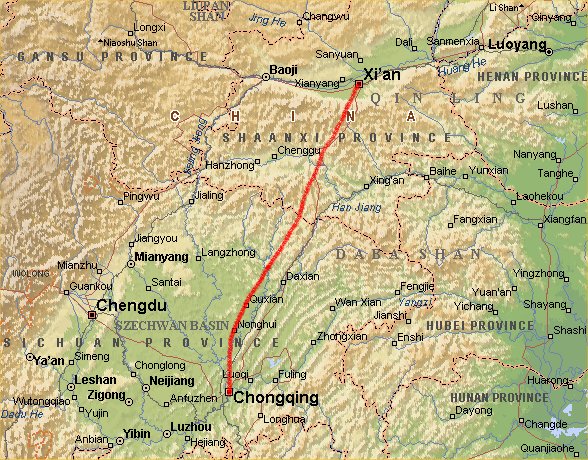
Day 12: Beijing - Xian

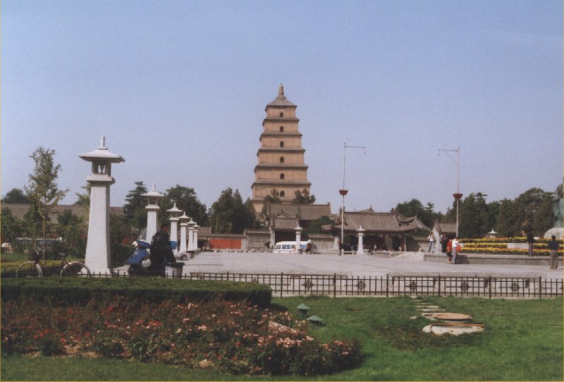
Day 13: Xian


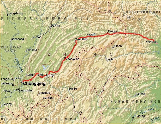
Day 14: Xian - Chongqing


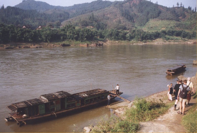
Day 15: Chongqing - Yangzi River

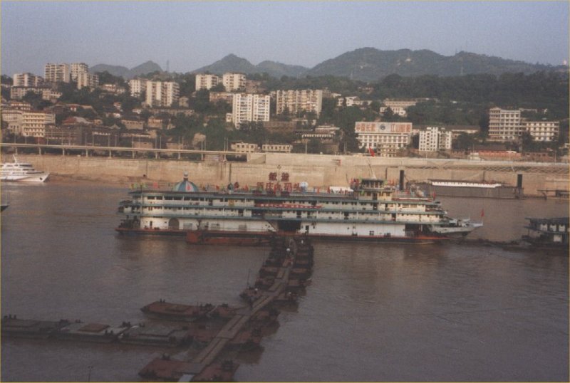
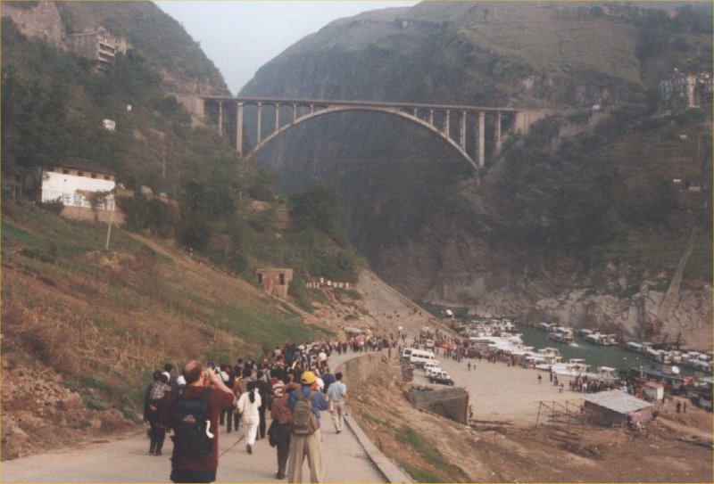
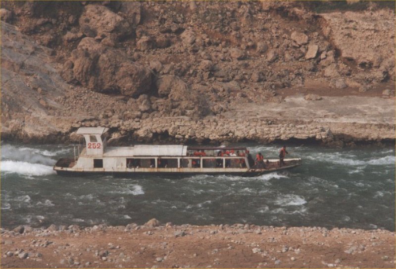
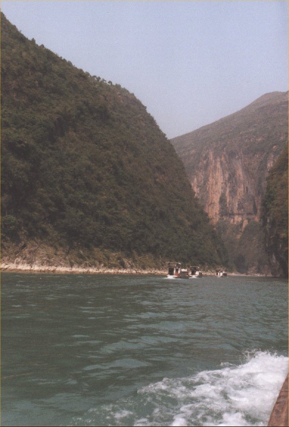
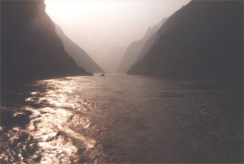
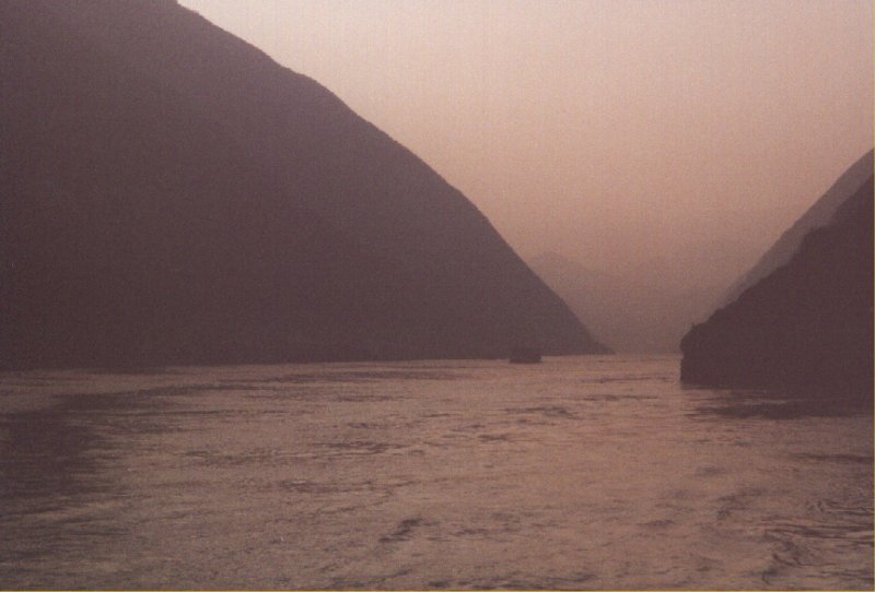
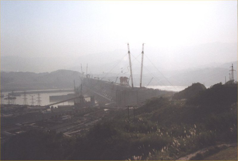
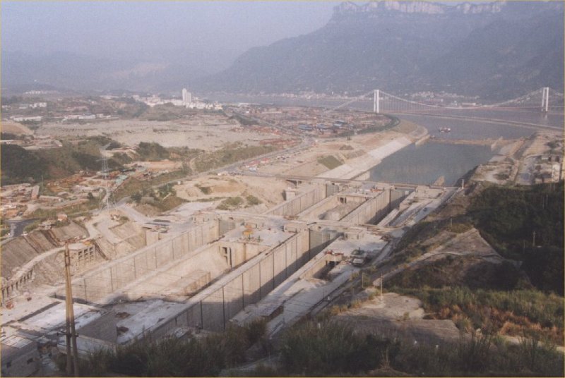
Day 16: Three Gorges
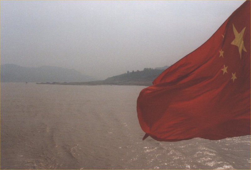
Day 17: Yangzi River - Yichang
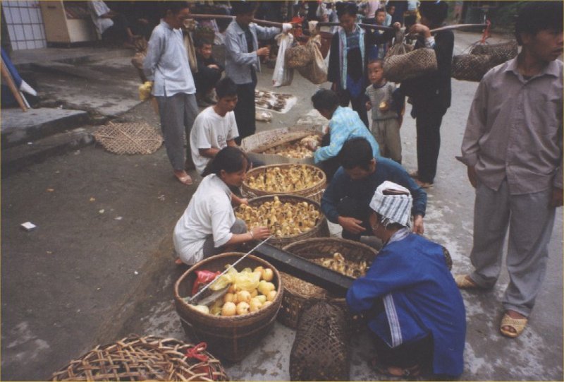
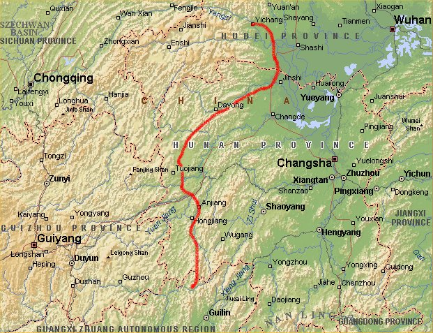
Day 18: Yichang - Sanjiang
Day 19: Yichang - Sanjiang


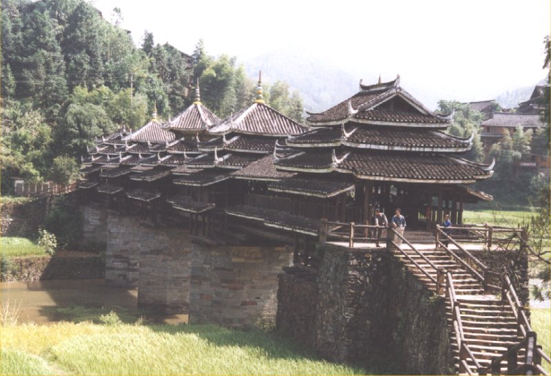
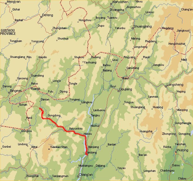
Day 20: Sanjiang - Yangxi
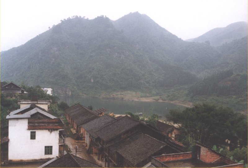
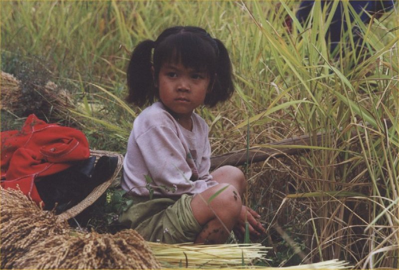
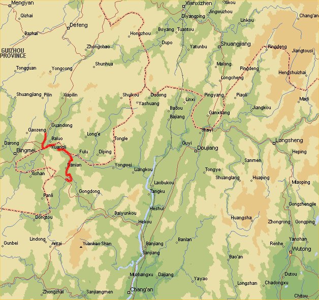
Day 21: Yangxi - Zhaoxing - Yangxi

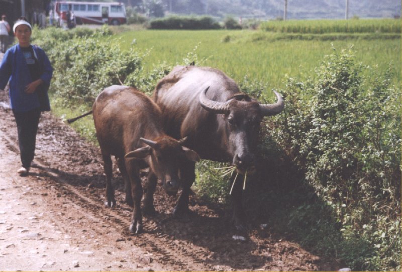
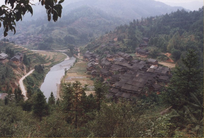
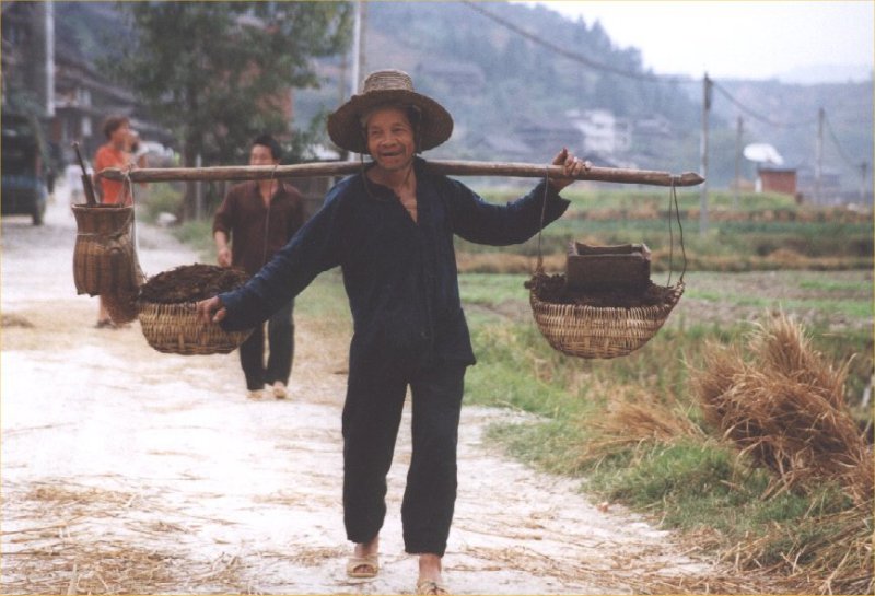
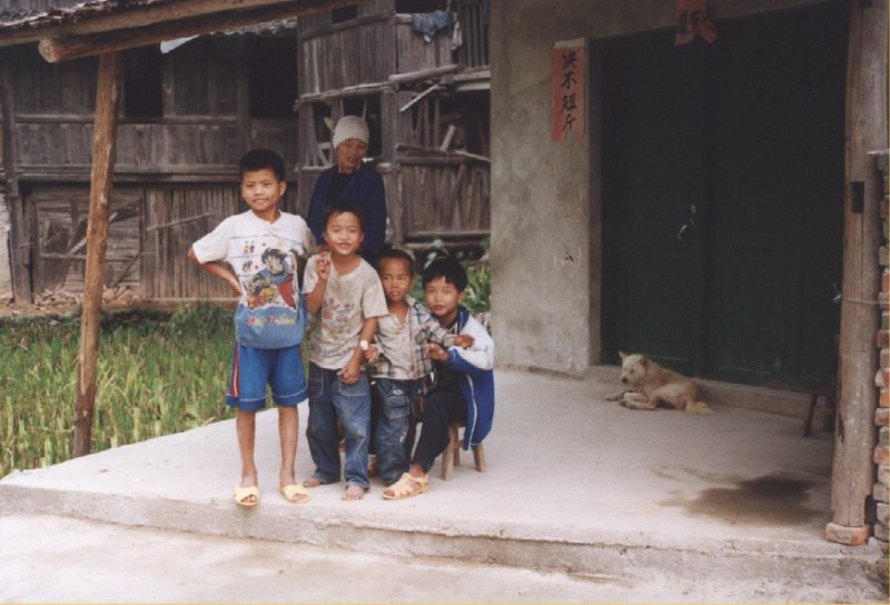
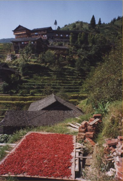
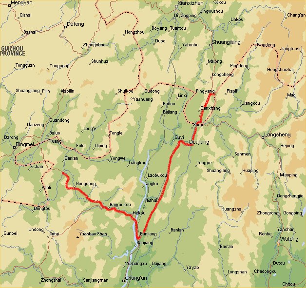
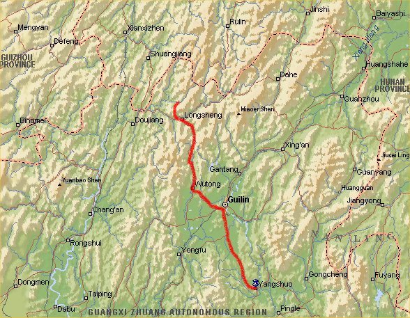
Day 22: Yangxi -Longsheng - Longji
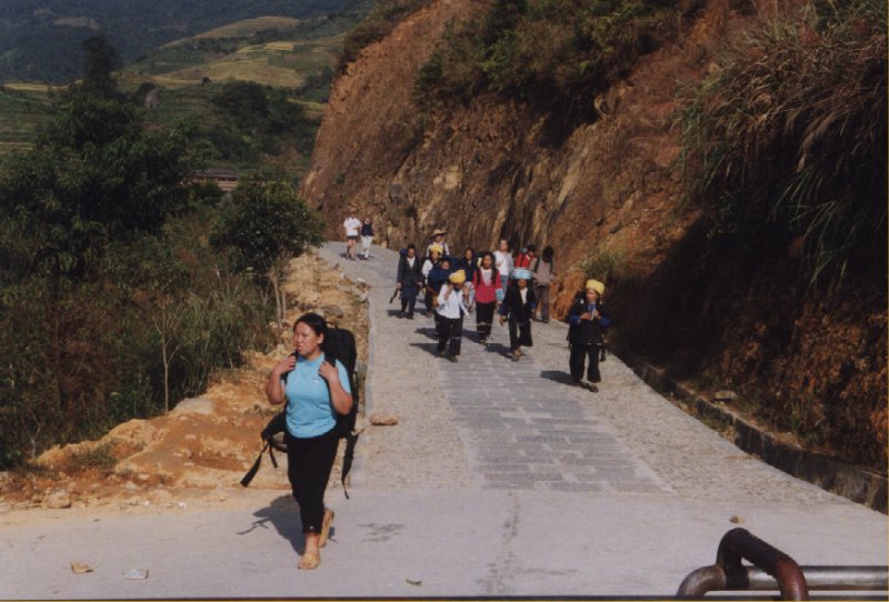
Day 23: Longji
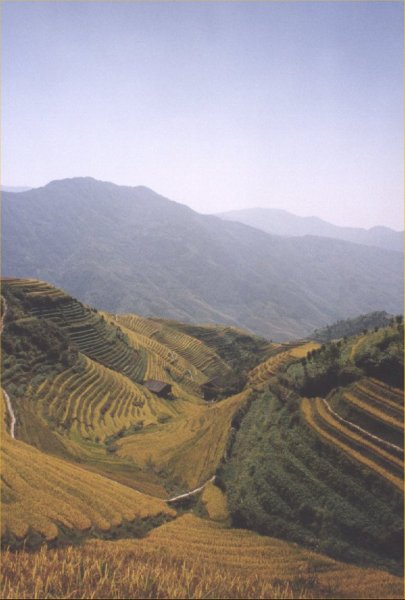
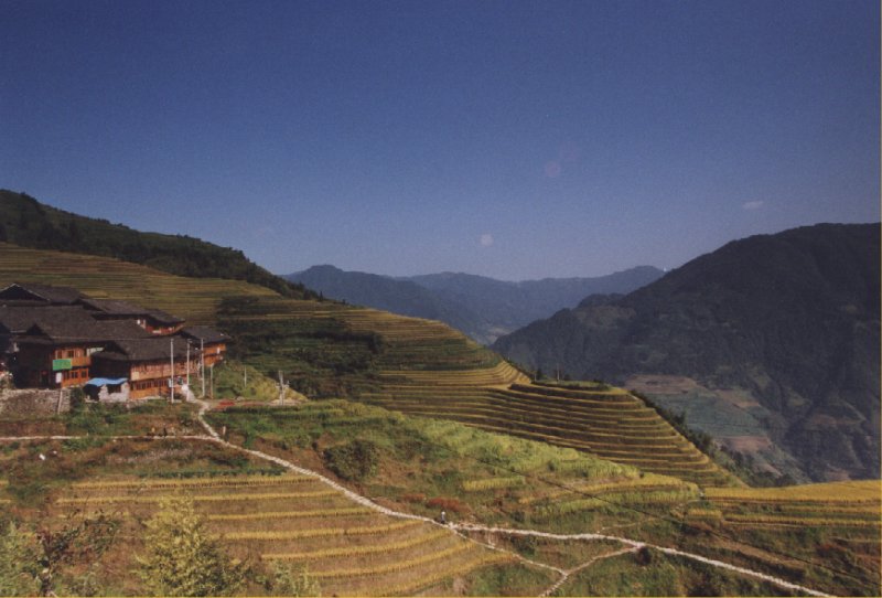

Ping An
Day 24: Longji - Yangsho
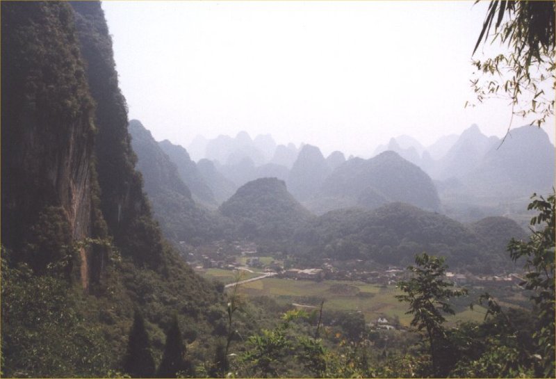
Day 25: Yangsho
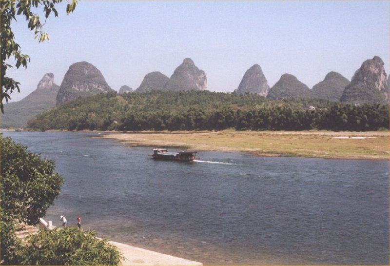
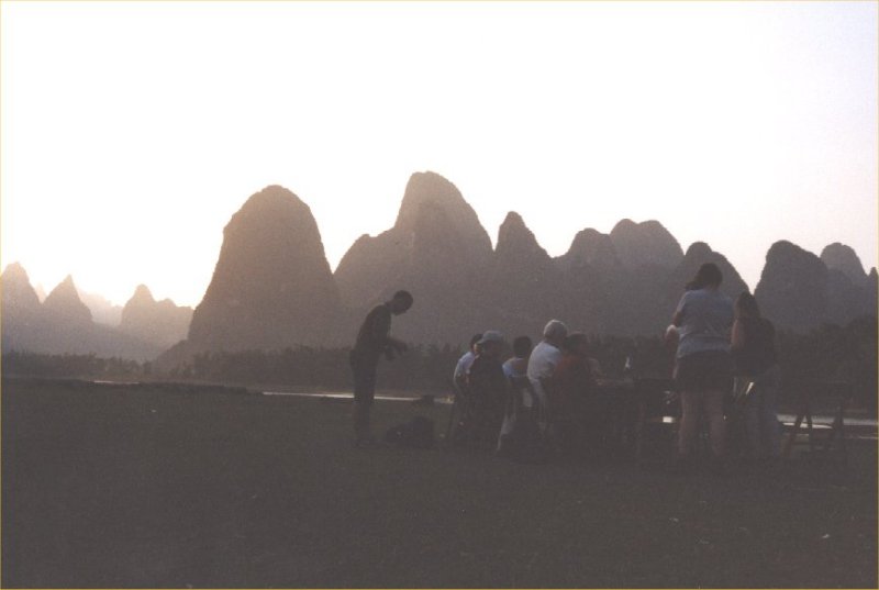

Day 26: Yangsho
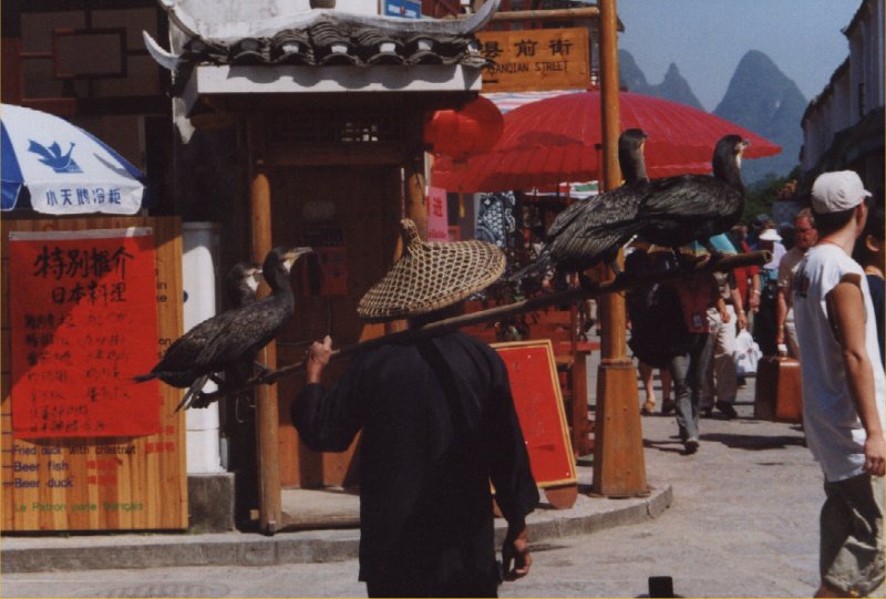
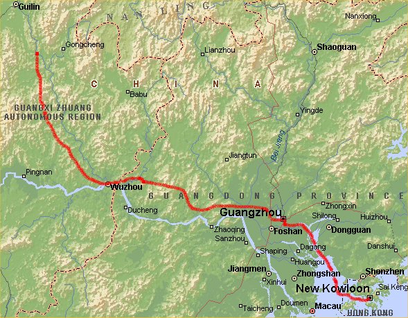
Day 27: Yangsho - Guilin - Guangzhou - Hong Kong
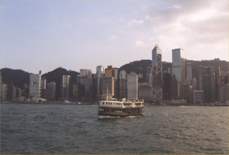
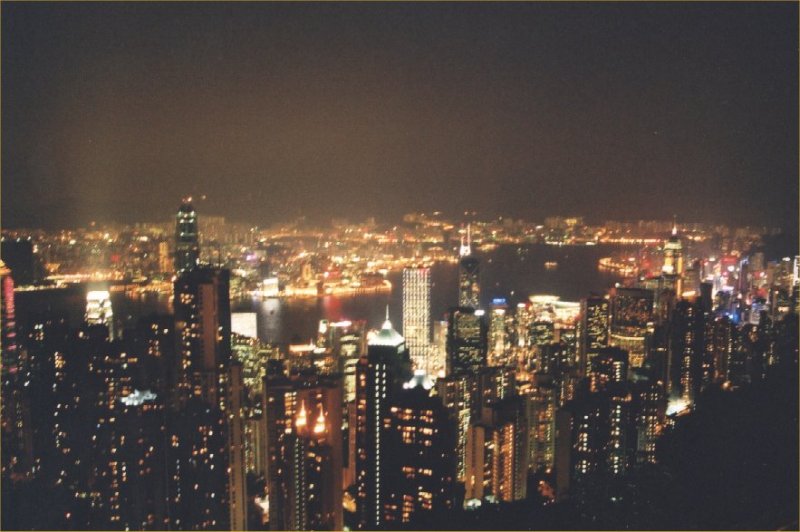
Day 28: Hong Kong


Day 29: Hong Kong - Amsterdam


This document was last updated on 10/01/04