| Holiday 2003 in Zimbabwe, Botswana and Namibia |
A number of short rivers rise in the Highveld. Of these, the Shangani and Munyati
flow north, and the Sabi and Lundi flow south. Lake Kariba, which was formed behind
Kariba Dam on the Zambezi, forms part of the countrys northern border with Zambia.
The principal stream in Botswana is the Okovango River, which flows southeast from
the Angola highlands into northwestern Botswana and drains into the Okavango Basin,
where it forms a vast marshland. During the rainy season the flow continues east
through the Boteti River to Lake Xau and the Makgadikgadi Pan. There are no
permanent streams in the southern part of the country.
Descendants of the original Tswana peoplesthe Kwena, Ngwato, Ngwaketse, Kgatla,
Tawana, Lete, Tlokwa, and Rolongconstitute the largest ethnic grouping in
Botswana. These groups consider themselves to be one people because they descended
from a common ancestor, but they tend to live in different areas. The other half
of the population is composed of the Kalanga, Kgalagadi, Birwa, Tswapong, Yei,
Mbukushu, Subiya, Herero, and Khoisan groups. There are also small minorities of
Europeans, Indians, and other Asians.
Of the total population, 71.9 per cent live in rural areas, although more people
are moving to the cities. Gaborone, the capital, is one of the worlds fastest
growing cities. Most people live in the comparatively fertile eastern part of the
country.
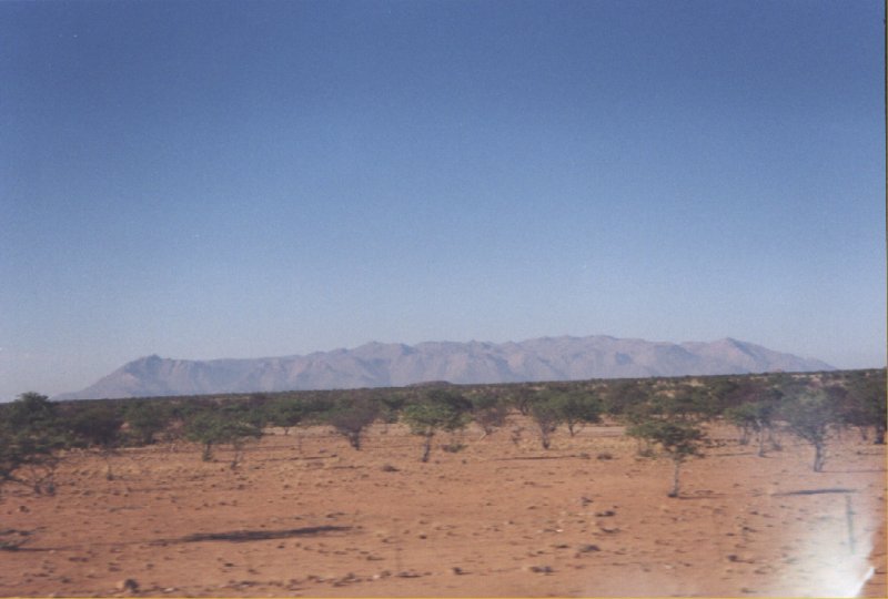
On the east, the central plateau rises abruptly at the Great Escarpment. The plateau
averages about 1,100 metres (3,609 feet) in elevation but rises in several
mountainous areas to elevations greater than 1,800 metres (5,906 feet). The Kalahari
Desert, a highland area with vast sandy tracts, lies along the eastern border.
The only permanent rivers are the Orange, Cunene, Okavango, and Zambezi, all of
which form international boundaries. The territory has virtually no other surface
water.
Black Africans constitute the majority of the population of Namibia. The principal
ethnic group is the Ovambo, an agricultural people who live primarily in the north
and make up about half of the black African population. The Damara, Herero, Himba,
Kavango, Nama, Caprivian, Tswana, and San are other African groups. Whites, mainly
of Afrikaner or German heritage, and people of mixed descent also live in Namibia.
The countrys capital and largest city is Windhoek.
Day 1: Amsterdam - Johannesburg
Although the start of the trip is at Harare, we first have to get there via Paris and Johannesburg.
Already in Paris we have problems finding our way, this part of the airport does not have proper
information signs and everybody in our group is searching for the correct gate. It is however a
good way to introduce ourselves (Hi, my name is Martin, I guess you are also member of the Summum
group and you are also lost?). During the night we fly over Africa.
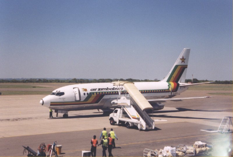
Day 2: Johannesburg - Harare
 At Johannesburg we have to wait a few hours until we can go to Harare. I think everybody has
introduced himself at this point. At the airport of Harare we meet our tour guide Carola. Already
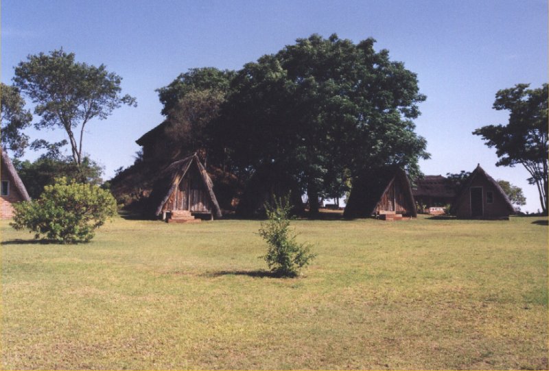
we have a small problem in our group, the luggage of two people has not arrived. A bus is
waiting to brings us to a campsite just outside Harare. We get the advise not to leave the
campground, due to the fact that we might get mugged by the local people. The current economical
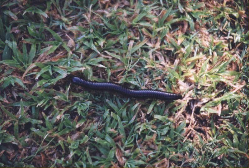
situation in Zimbabwe is so bad that mugging foreigners is not unusual. We also have our first
encounter with African wildlife, a centipede. It is just a small one, about 20 cm long. We also
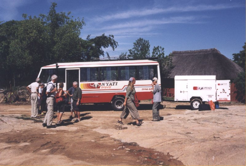
see a first glimpse of an overland truck although the first part of the trip will be done with a
normal bus and trailer.
At Johannesburg we have to wait a few hours until we can go to Harare. I think everybody has
introduced himself at this point. At the airport of Harare we meet our tour guide Carola. Already
we have a small problem in our group, the luggage of two people has not arrived. A bus is
waiting to brings us to a campsite just outside Harare. We get the advise not to leave the
campground, due to the fact that we might get mugged by the local people. The current economical
situation in Zimbabwe is so bad that mugging foreigners is not unusual. We also have our first
encounter with African wildlife, a centipede. It is just a small one, about 20 cm long. We also
see a first glimpse of an overland truck although the first part of the trip will be done with a
normal bus and trailer.
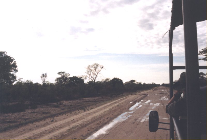
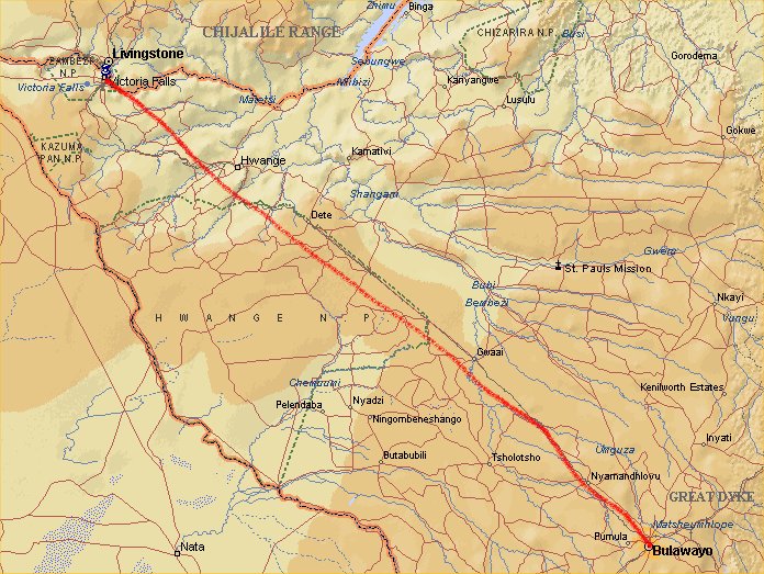
Day 3: Harare - Bulawayo
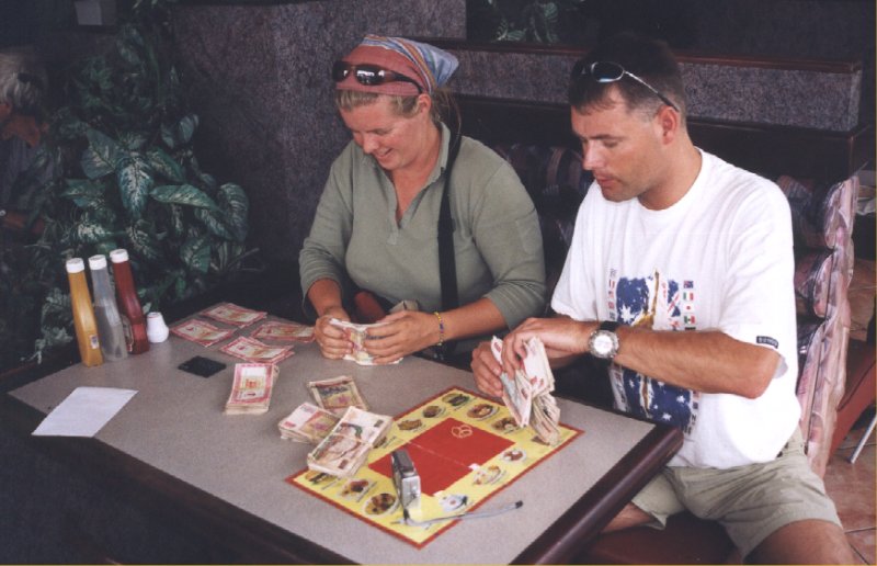
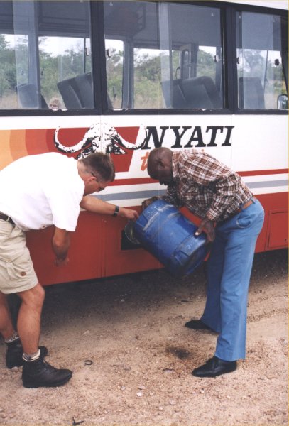
In the morning we first drive to the bus company. Several barrels with diesel are loaded in the
trailer, since diesel is becoming more expensive every day. The fact that inflation is so high that
you'll see prices change every day is another sign that the economy in Zimbabwe is in a very poor
state. During lunch Carola brings a huge stack of money, makes it into smaller bundles together
with Michel. Although it looks like a huge amount of money, every bundle is just 10 euro's worth.
Enough to pay the lunch at Wimpie's, that's it. Places like this have almost no customers anymore,
it is too expensive to eat in a place like this. Halfway, we have to stop to put diesel in the
bus. Some backpacks in the trailer have a diesel smell.
Day 4: Bulawayo
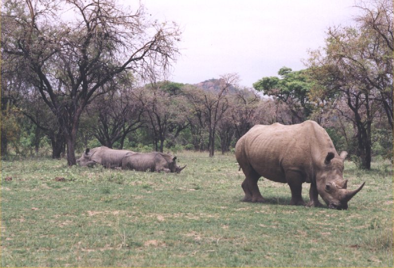
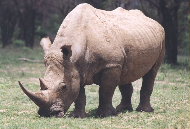
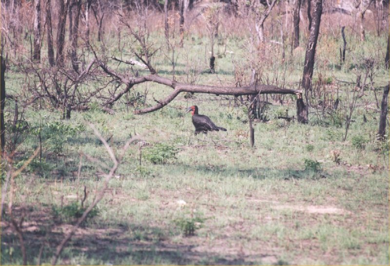
Early in the morning we drive with 4x4's from the hotel to the Matobo National Park. This park is
rich in birdlife and wildlife. Already after a few hundred metres in the park we spot a few white
rhino's. Unfortunately they are a bit far away and behind bushes. No problem, the game warden says,
lets get out of the vehicle and we can walk towards them. Everybody is very surprised, you are
never allowed to leave a vehicle in a game park. It is quiet safe he says since there are no lions
or elephants in this park. Slowly we move as a group towards the huge animals, until we are about
15 to 20 metres away from them. Everybody is excited and even the rhino's become a bit nervous.
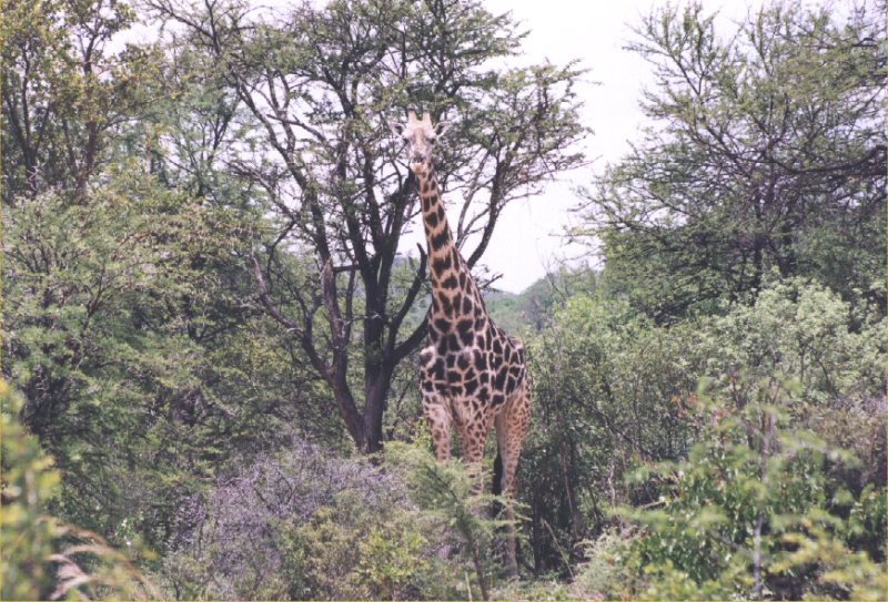
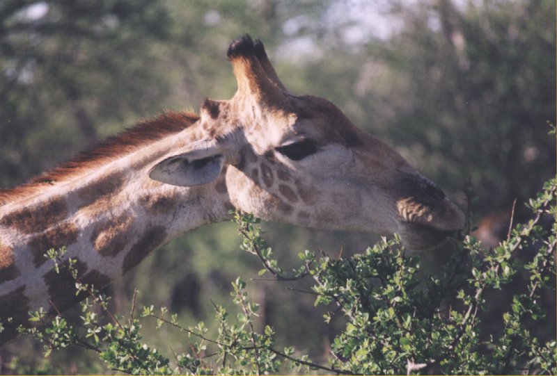
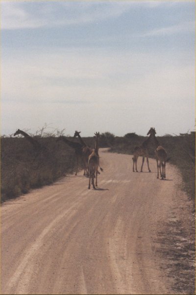
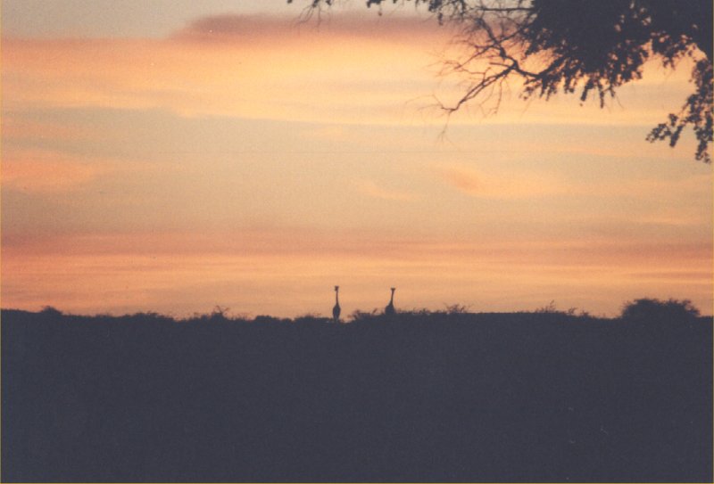
A bit further in the park we see the first giraffes and we walk into the bush again. But the giraffes
are a bit scared and walk away. In the background we hear monkeys, but we don't see them. On the
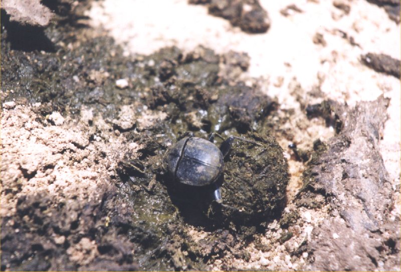
right picture you can see a beetle rolling a big piece of dung. They will lay their eggs in it.
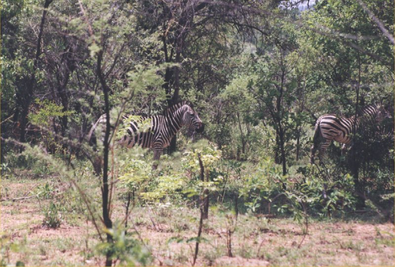
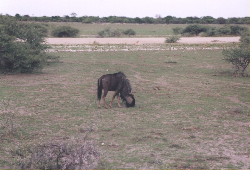
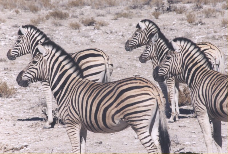
In this park we also see zebras and wildebeasts. It is difficult to take pictures of then, they stay
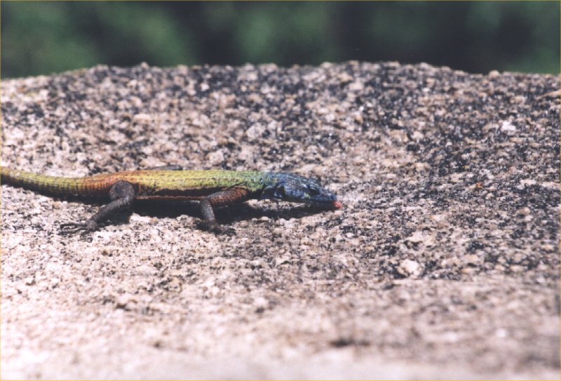
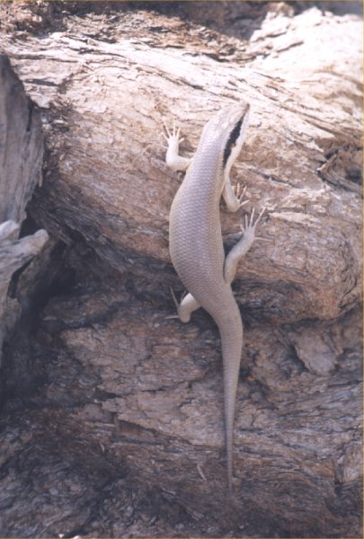
far away between the trees. On the rocks you can find lots of lizzards, some have really nice colours.
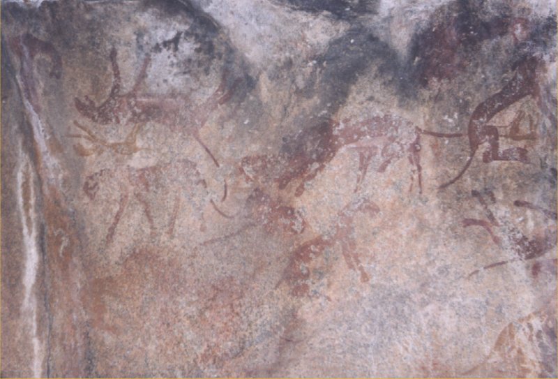
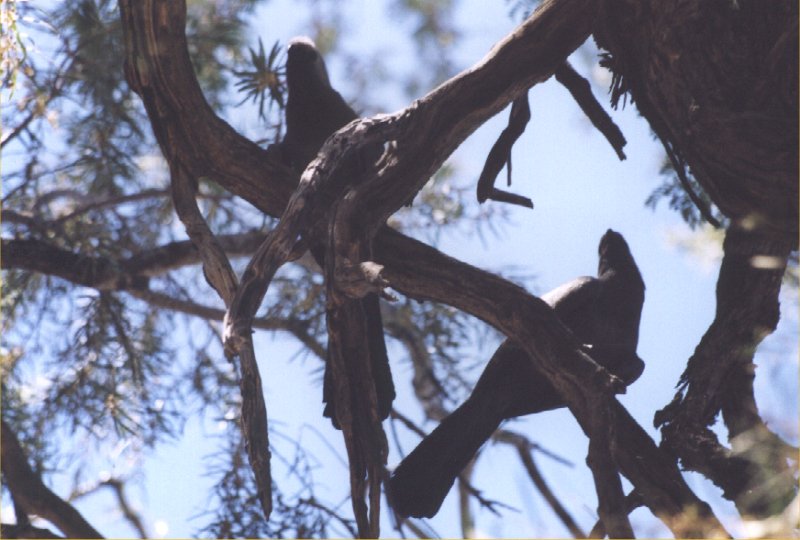
In the park you can also find rock paintings with figures of giraffes, antilopes, lions and other
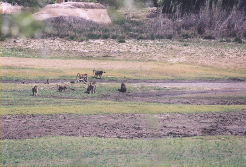
wildlife. Finally we also see a large group of monkeys.


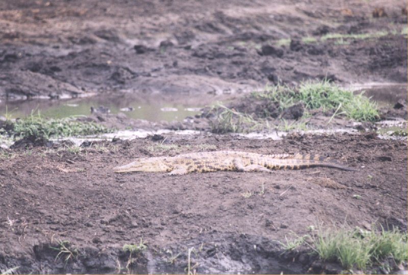
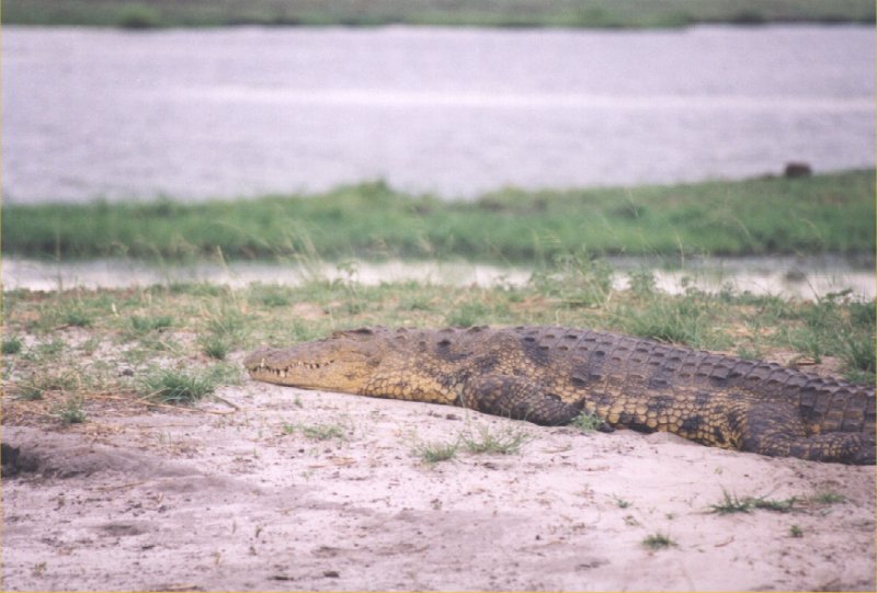
Close to a dam we see a crocodile next to the water. You should not go swimming here anyway, the
water contains bilharzia. Driving towards the View of the World we spot wild boars and lots of
birds.
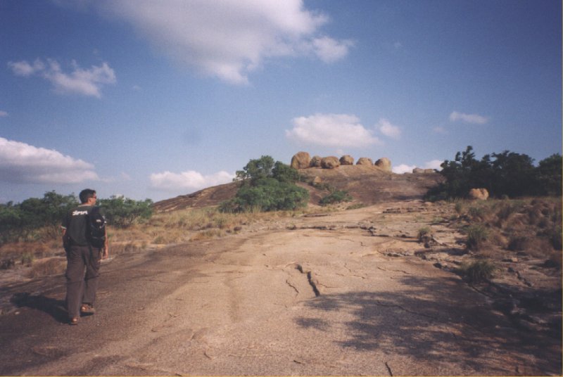
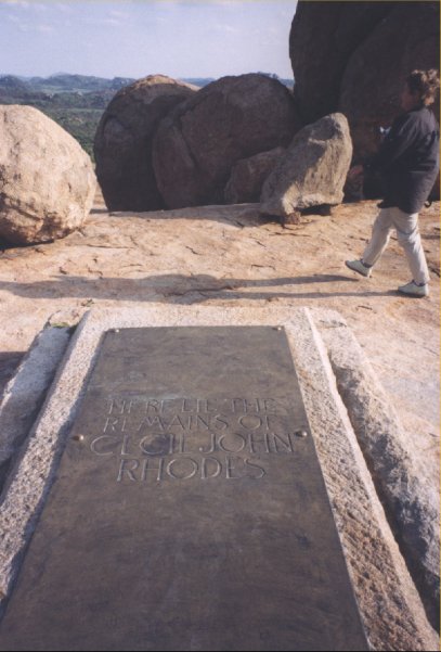
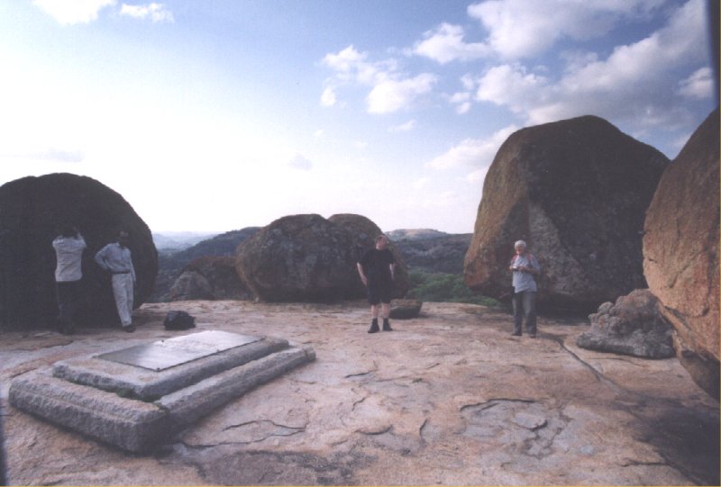
At the hill of the View of the World lies the grave of Cecil Rhodes, the founder of Rhodesia. When
Rhodes discovered this place he said: "I shall be buried here, looking towards the north, and the
remains of Allan Wilson and his party must be brought from Fort Victoria and placed inside the
memorialI shall put up for their memory ... I call this one View of the World".
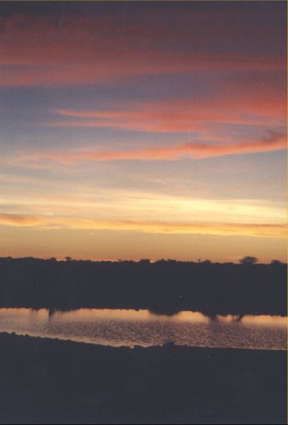
Day 5: Bulawayo - Victoria Falls
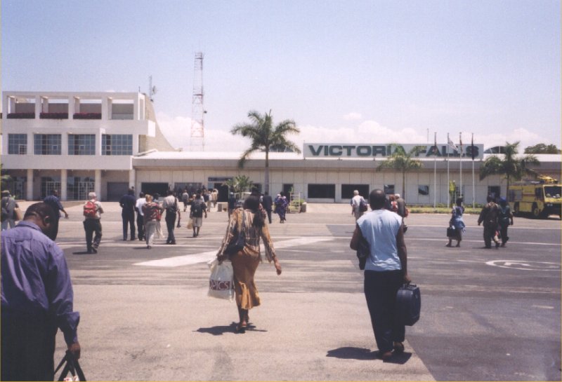
The original plan was to take the nighttrain between Bulawayo and Victoria Falls, but the train
is out of service already for a week due to the high diesel price. So we take the plane that will
bring is to Vic Falls in 1 hour. When we arrive an acapella group in traditional Zulu outfit
welcome us. By mistake only a small bus has arrived to bring us to the campsite. My brother and
I decide to wait at the airport and keep an eye on the luggage. After sitting in the sun for
an hour the bus arrives to pick us up. The driver is happy that he doesn't have to carry all
the luggage himself.
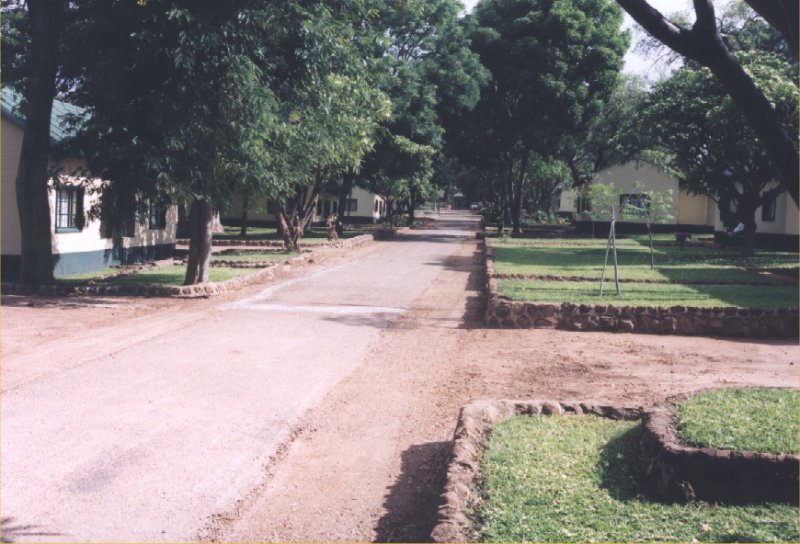
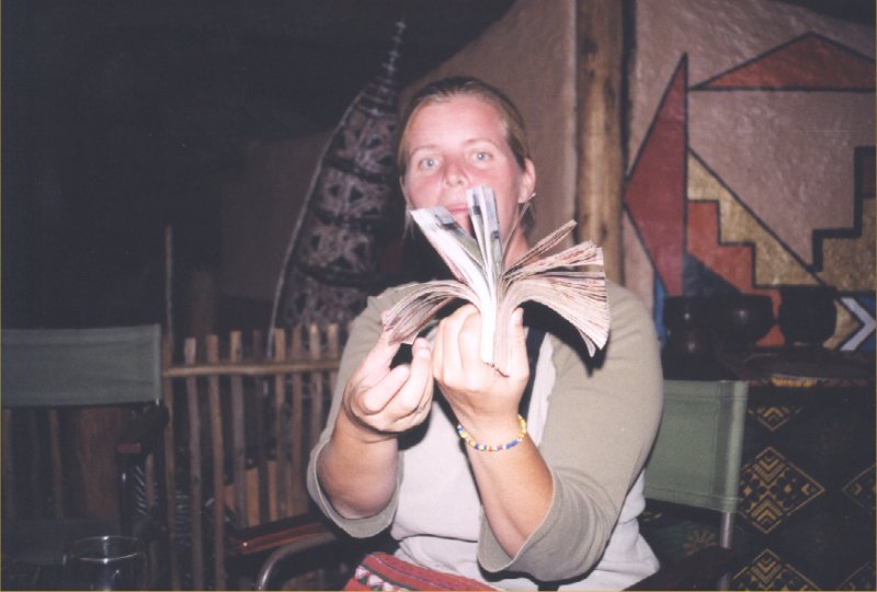
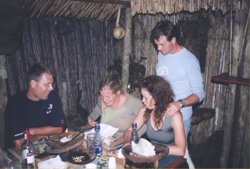
At the campsite we stay in lodges, it is simple but clean. When we go out for dinner Carola has
got yet another big stack of money, just enought to pay for the food for the next 2 days. The
restaurant serves excellent food, including a lot of game like gazelle, wild boar, springbok
and even crocodile.
Day 6: Victoria Falls
During the morning we will be rafting on the Zambezi river, one of the roughest white water rides
you'll find in the world (Grade 5). A pickup truck picks us up and we first have a quick lunch and
instructions about safety and what you should and shouln't do in the boat and the water. Then
we take our gear and walk down into the gorge. We first do a few practice runs and then we row
the boat into the gorge. The ride is very spectacular and we all enjoy it. At rapid number 8
(called Midnight Diner) we get kicked out of the boat. There was no way to get control over the
boat. It is part of the thrill and after the lunch we go back to the campsite to tell our other
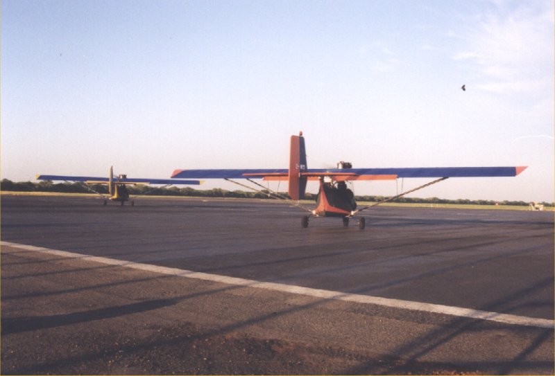
group members how exciting it all was. We had the plan to go flying with a microlight in the
afternoon, but the wind is too strong to go flying.
Day 7: Victoria Falls - Kasane - Chobe NP
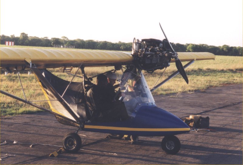
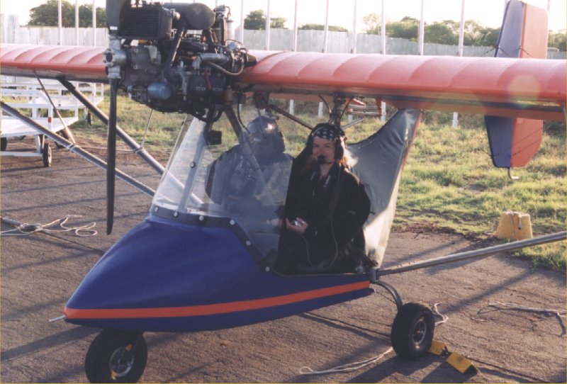
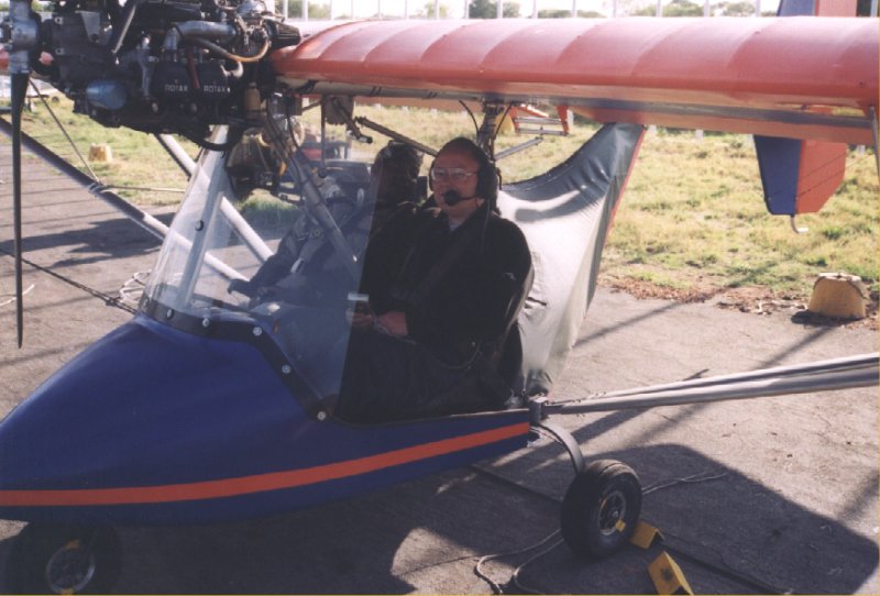
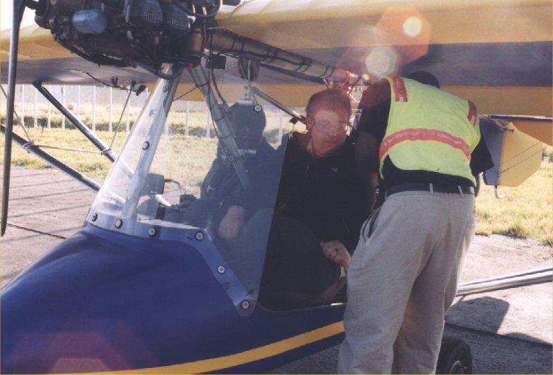
Today we get another chance for microlightflying, the weather looks fine at 6 o'clock in the
morning. First Maarten en Mirjam fly to the waterfalls. They are very enthousaistic when they
come back. During the second run it is Michels turn. One of the planes has got a technical
problem. Hmmm, this is not promissing for us. But finally we can go into the air.
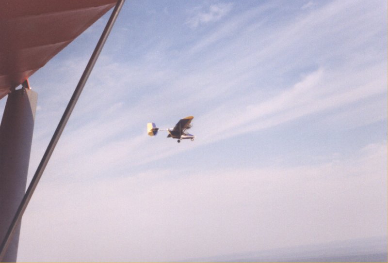
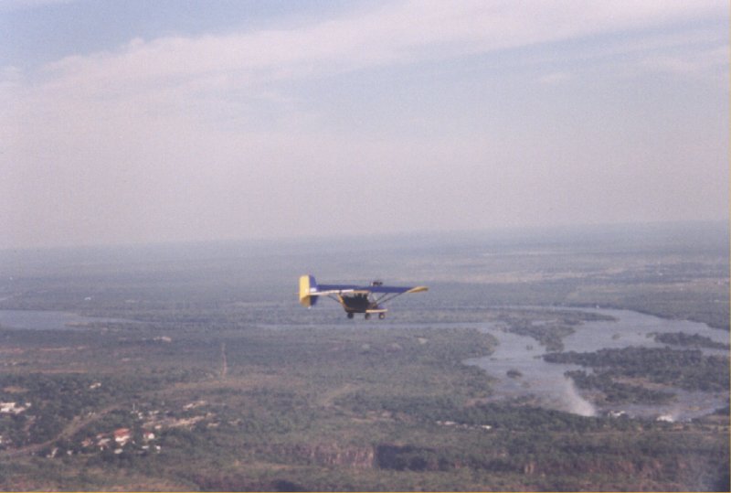
It is becoming more windy and the plane looks difficult to handle. Still we enjoy the flight, a bit
of adrenaline does not hurt. Microlight flying is really fun, even when it is a bumpy ride. Slowly
the falls become visible. The waterlevel is not very high, but still the falls look very nice.

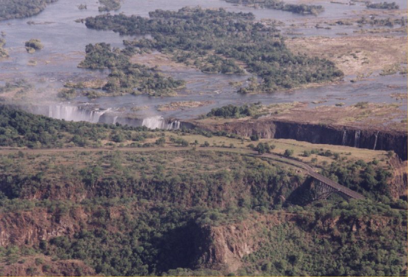

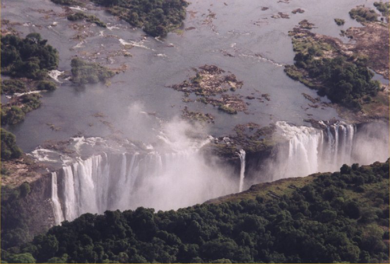
The Zambezi river flows down below us, in the 110 metre deep canyon. We make two turns above the
river and the falls and then we fly back.
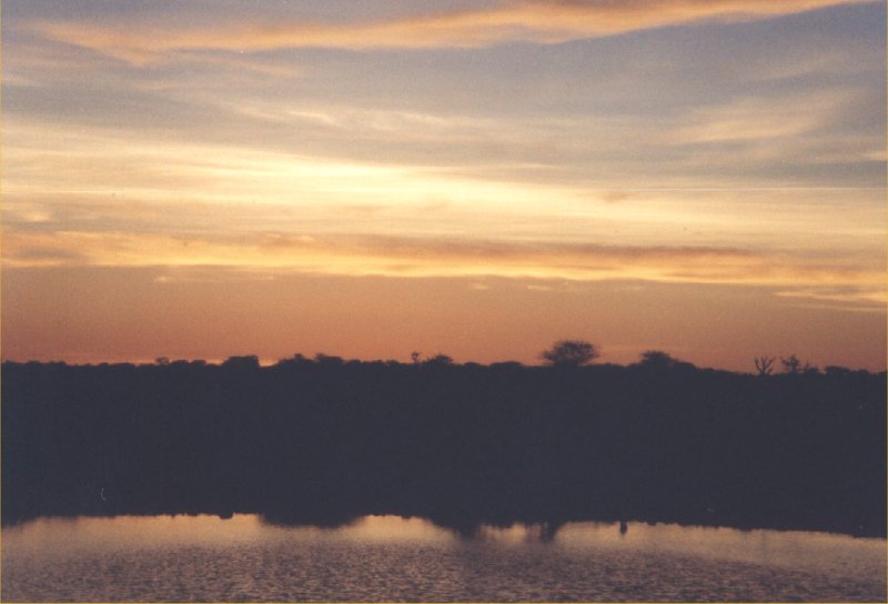
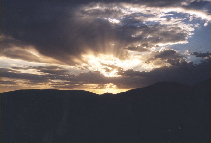
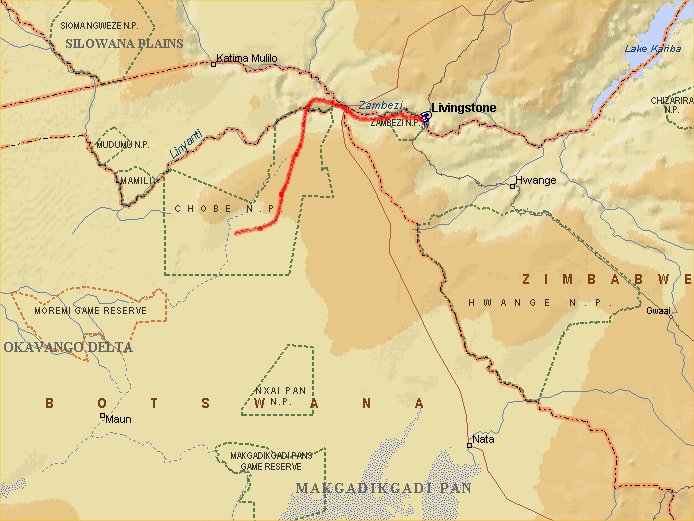
 In the afternoon the overland truck arrives at the campsite, from now on we go camping. Via
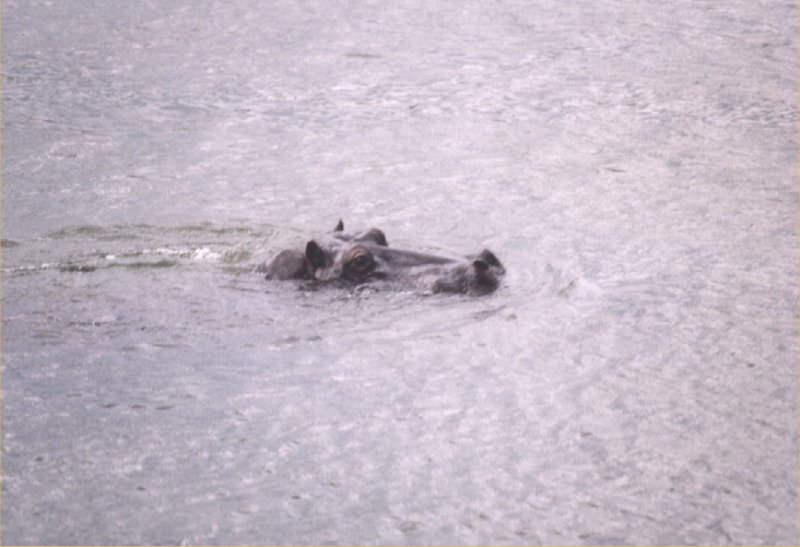
Namibia we go to Botswana and our first camp is at Chobe National Park. The first hippos are spotted
in the river next to the campsite around sunset. We get instructions from Yogi, one of the truck
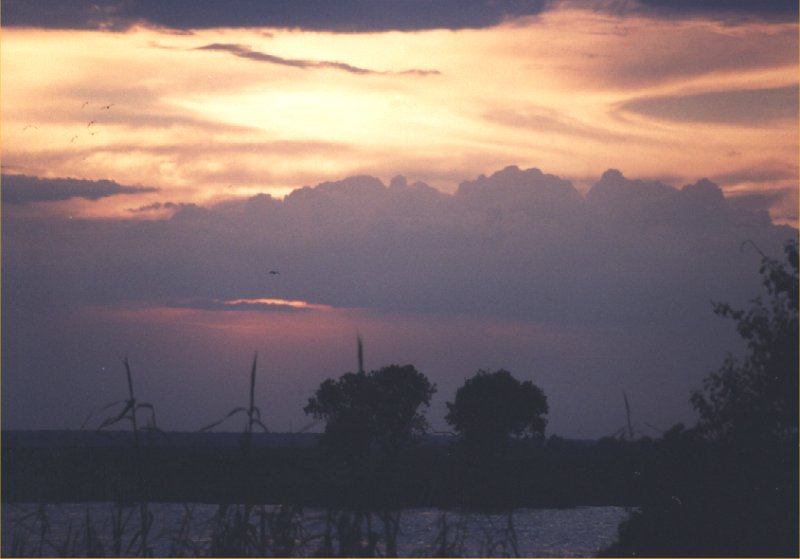
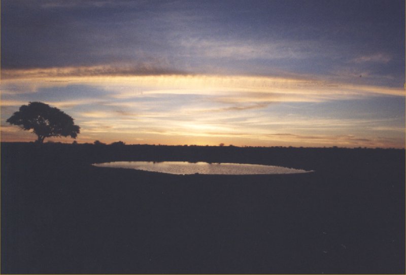
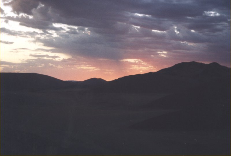
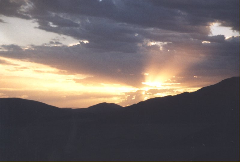
drivers, how to put up the tent and how the overland truck is organized. Just before dinner we
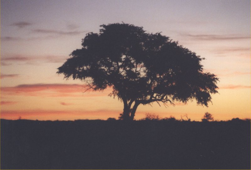
enjoy a beautiful sunset.
In the afternoon the overland truck arrives at the campsite, from now on we go camping. Via
Namibia we go to Botswana and our first camp is at Chobe National Park. The first hippos are spotted
in the river next to the campsite around sunset. We get instructions from Yogi, one of the truck
drivers, how to put up the tent and how the overland truck is organized. Just before dinner we
enjoy a beautiful sunset.
Day 8: Chobe NP
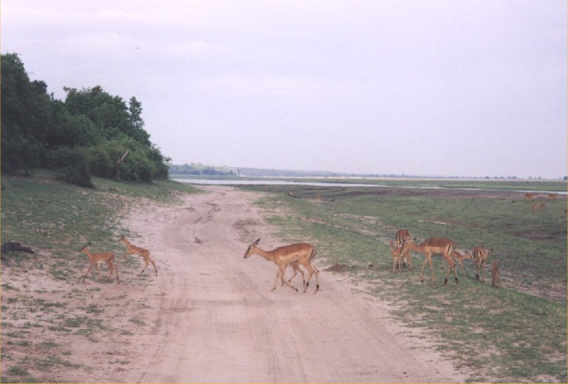
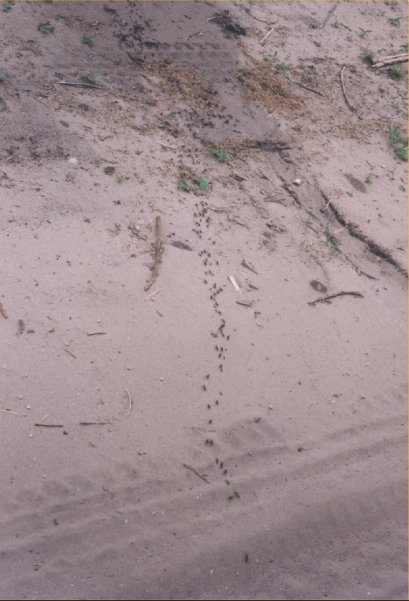
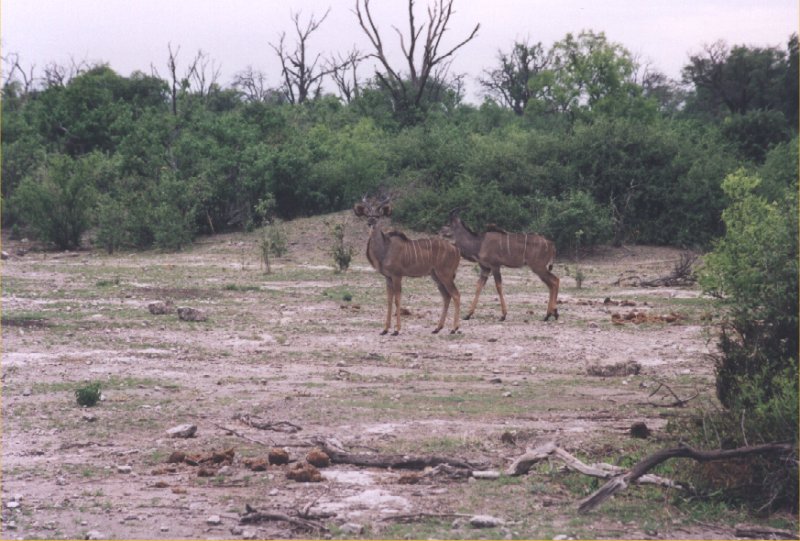
Chobe National Park was the first national park in Botswana. It is the second-largest park in the
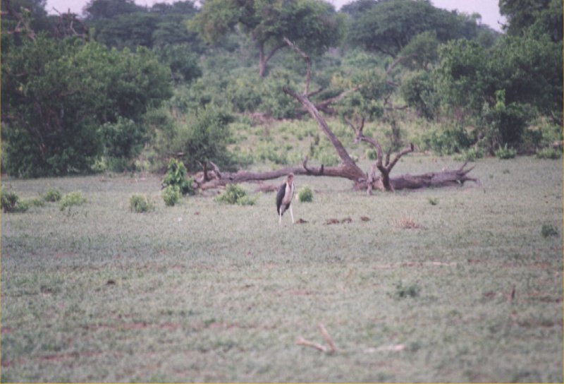
country. Very early in the morning we start the game drive. We see lots of birds, like a marabou and
also impalas. In the sand we see huge ants walking and a bit further down the road a few kudus
observe us closely.
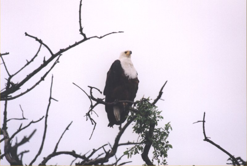

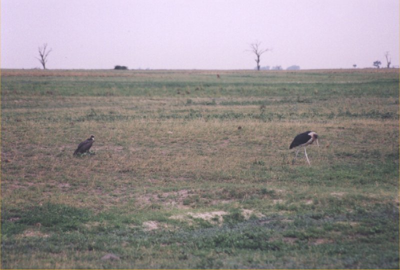
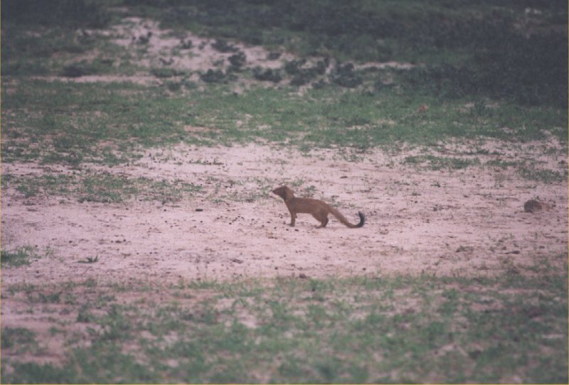
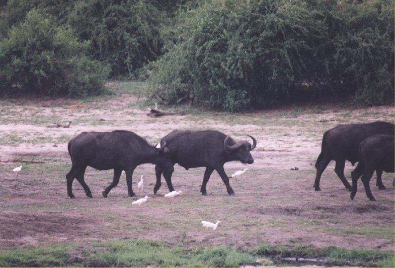
The park is a place where you can find hunters like the fish eagle, animals that are eaten (see
the cascas of a buffalo), scavergers like the marabou and the vulture. We also spot a mongoose.
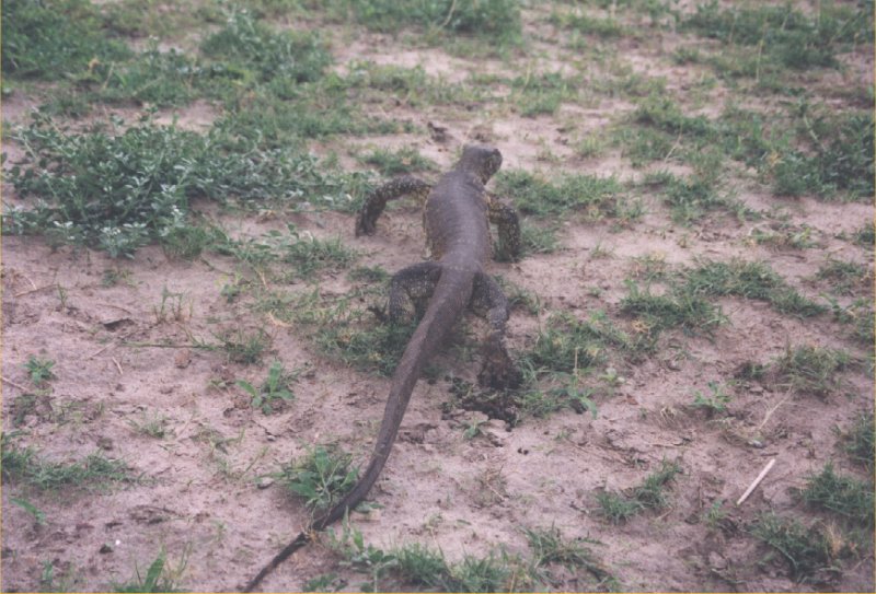


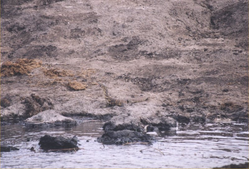
The picture on the left shows a varaan, a huge reptile that is about 1.5 metres in size. And although
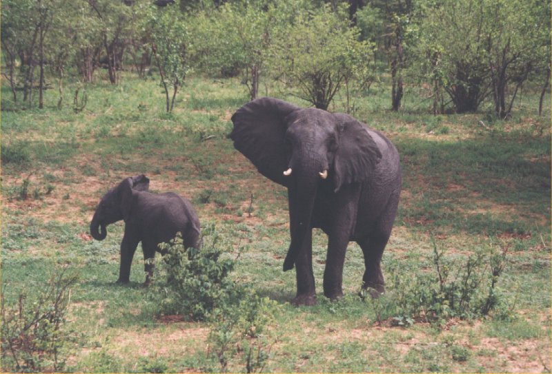
we had spotted an elephant earlier on this trip, it is the first time we get to see one right in
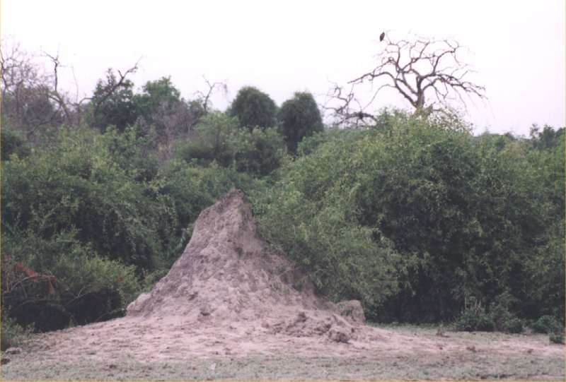
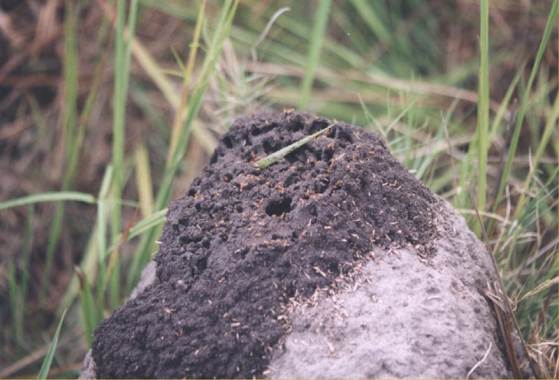
front of our cameras. The third picture shows a termite hill that is about 2 metres high. In the
distance you can just spot an eagle in the tree. Baboons are also very common here.
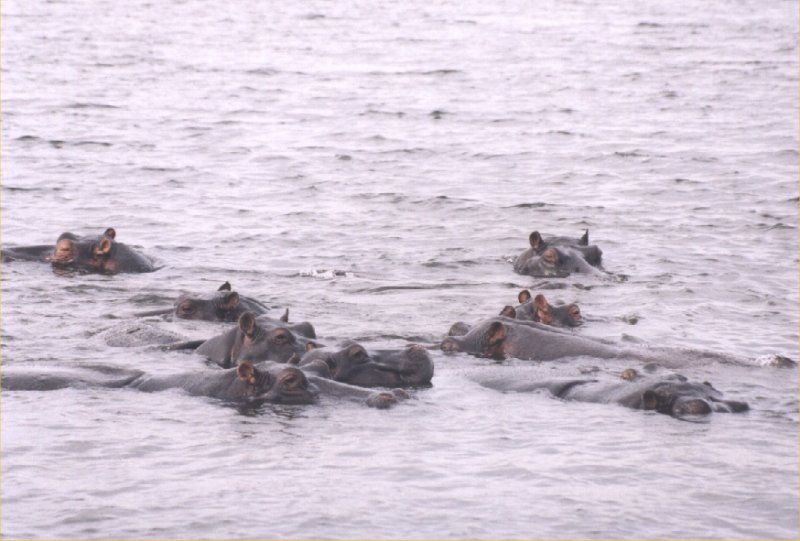
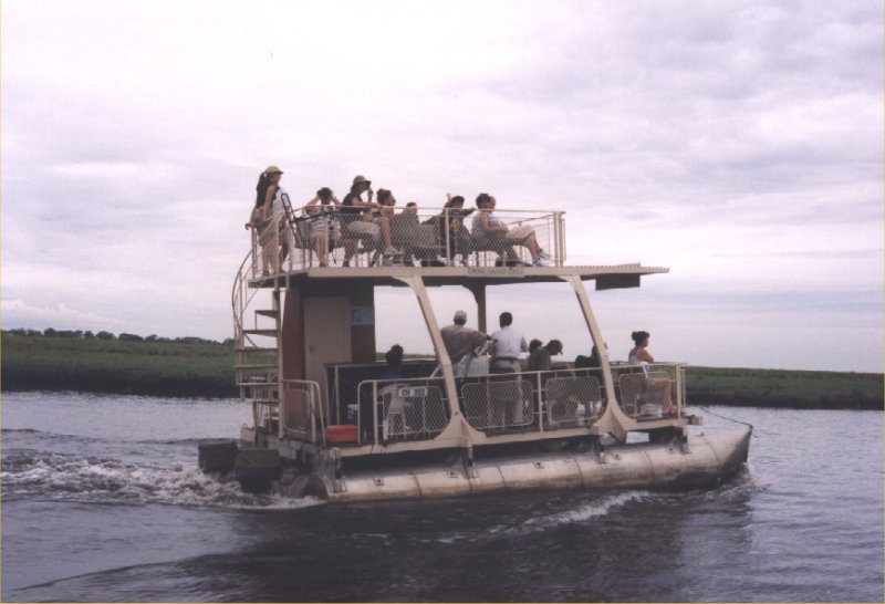
We spent the afternoon on a boat, which is an excellent way of seeing the wildlife that lives in or
close to the water. Most prominent are the hippos. We also spot several crocodiles and some
lizzards.

In the distance we see two elephants fighting with each other. The crocodile we see on the second
picture is a female that is resting on top of her nest. Using the boat we can approach the crocodile
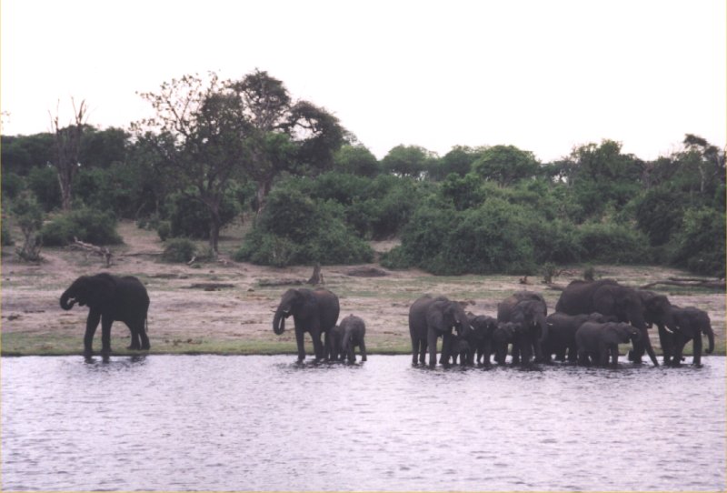
within a few metres. Along the riverside buffalos and elephants with young children meet to drink.
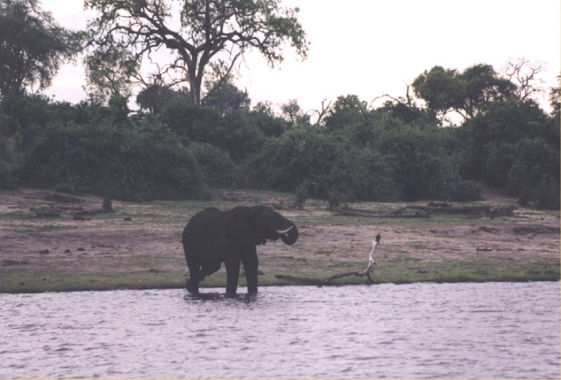
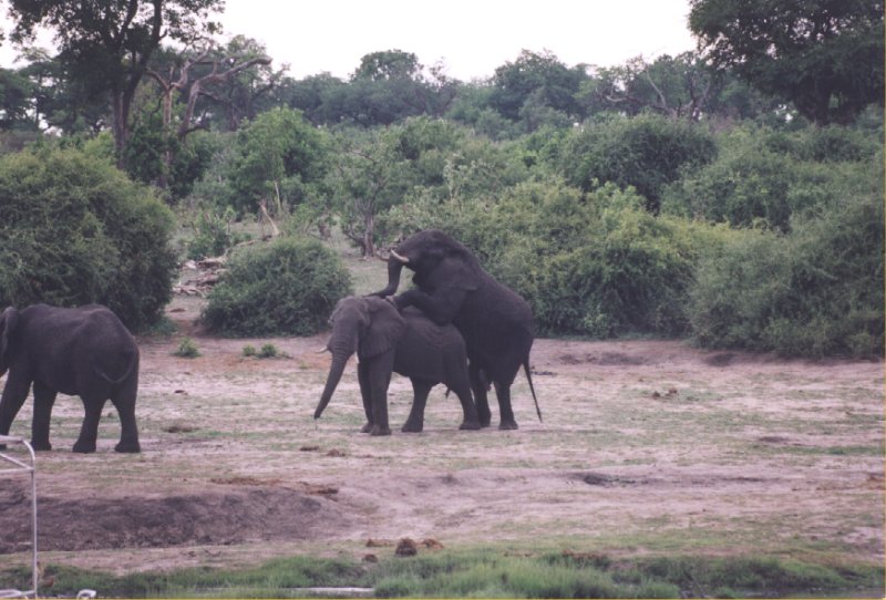

We stay here quite a while to observer the elephants. Some young bulls show off in the water and
walk towards the buffalos to separate them into two groups. They already show their power. Around
5 o'clock we go back to the camp, because it will be dark within 1 hour.
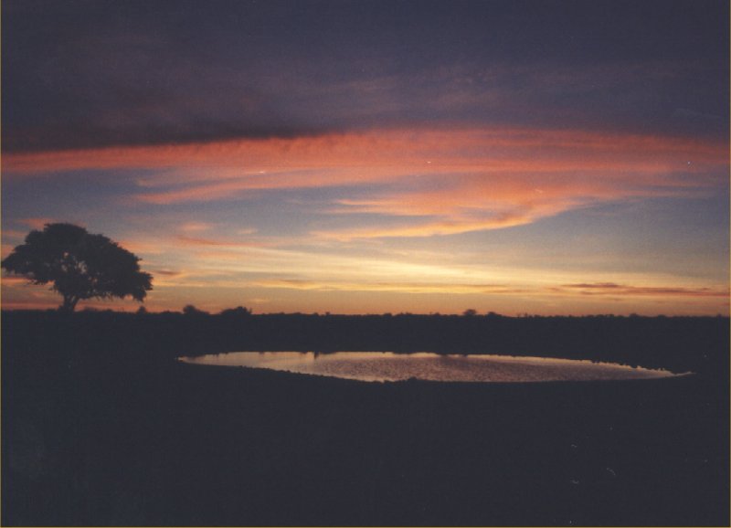
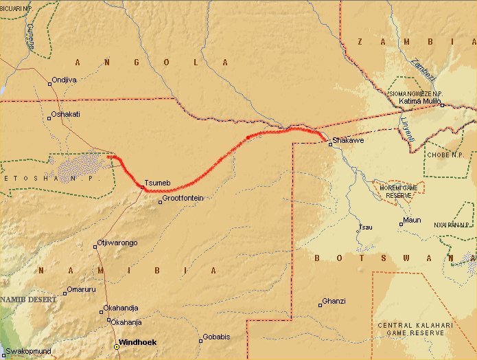
Day 9: Kasane - Ngepi
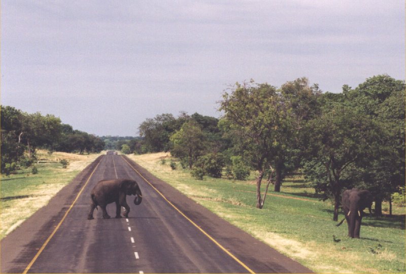
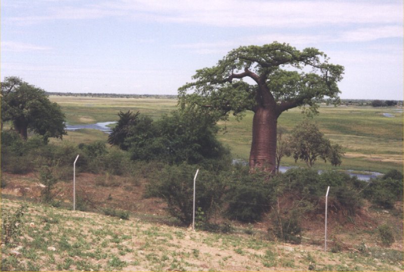

We drive back to Namibia and at some point, close to the border, we see elephants crossing the
road. We stop for a few minutes to observe them and to make sure they don't walk back onto the
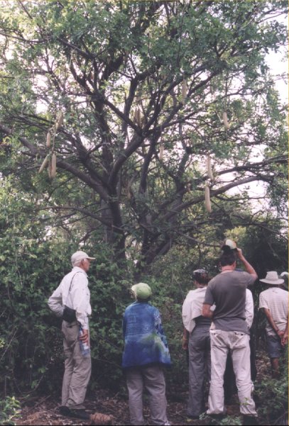
road. At the border we can finally get close to a baobab tree. The road is long and straight. It
follow the Caprivi Strip (the narrow stretch of land between Botswana and Angola). At some parts
the track has to drive over sand instead of tarmac.

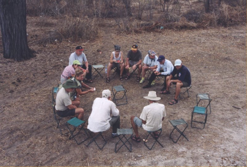
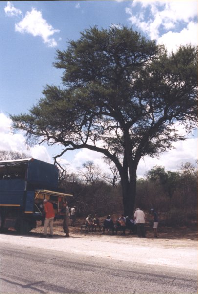
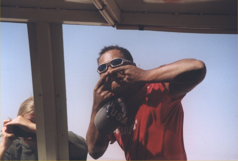
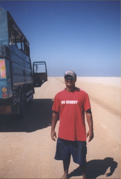
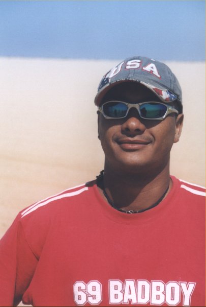
Yogi in his typical drivers output, shorts, a baseball cap, sunglasses and bare feet. We stop here
for a few minutes to stretch our legs and to take a pee. Along the road side we have lunch under
a huge tree. A bit of shade of needed, the temperature is high and the sunlight is bright. Beware
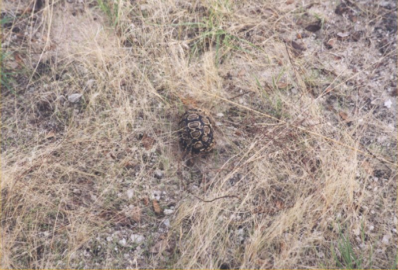
of sunburn. At the back of the truck we prepare the lunch. At some point during the trip a turtoise
crosses the road. By the time the truck is stopped the turtoise is already in the grass.
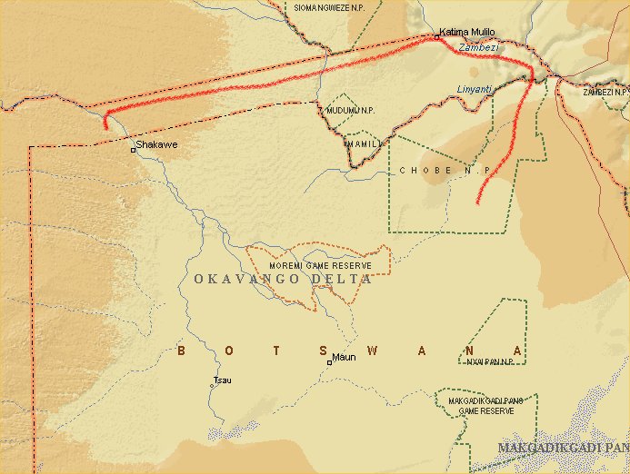
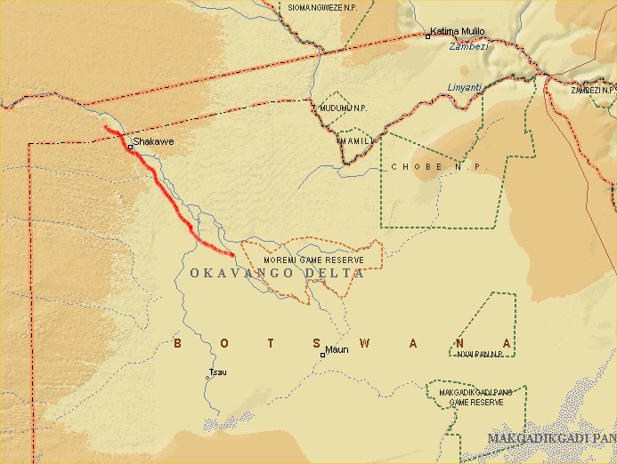
Day 10: Ngepi - Okavango Delta
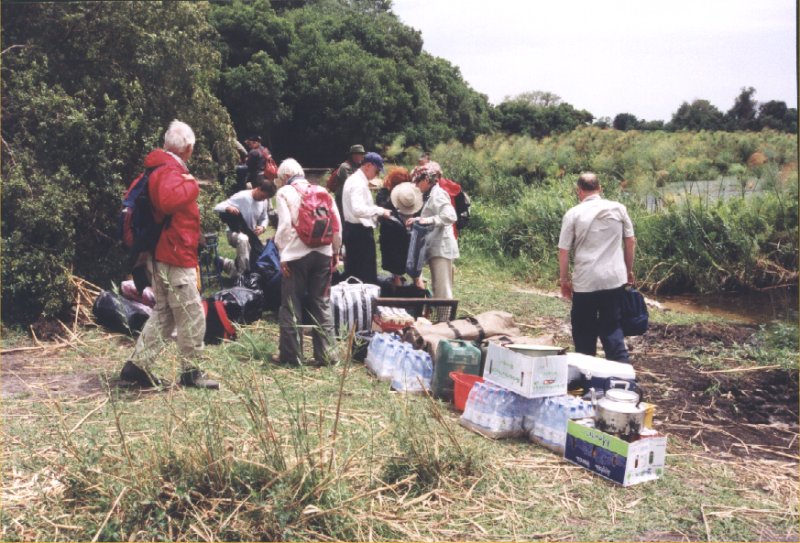

From the Ngepi camp site we take another truck into Botswana. Our overland truck is too high for
the place we are going to visit. It is cold and windy in the open truck. Every once in a while
we here lots of crickets and occasionally they also fall into the truck when we drive close to the
trees. At the border we see a few very large centipedes, about 30 cm large ones. When we arrive at
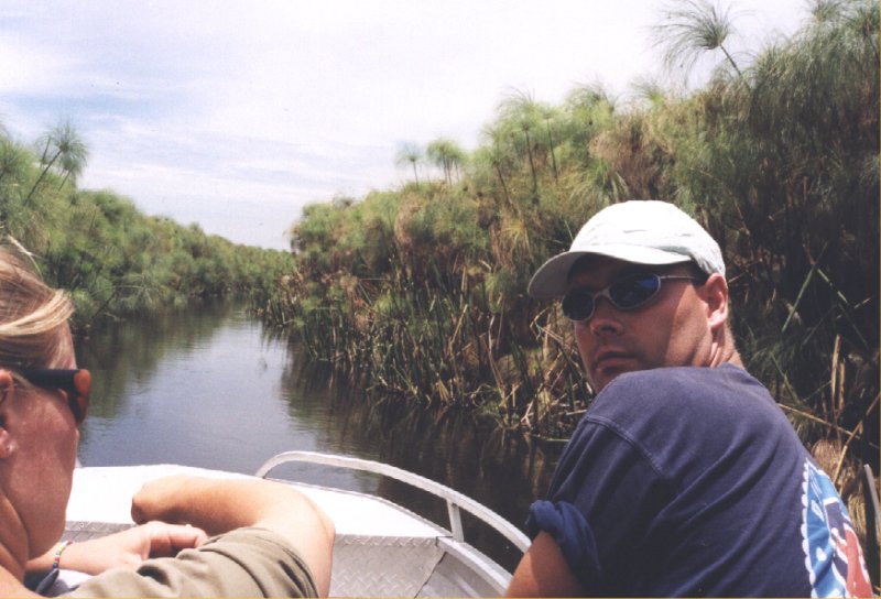
the Okavango Delta we unload the truck, have lunch (nice ham and cheese sandwitches) and step in
a small boat that will bring us somewhere in the delta. At first the river is wide, but soon it
becomes narrow. Beware of hippos and crocodiles in this area. Further down the river even the
motorboat can not go further anymore and we have to use canoes to go even further. These so called
Mokoro canoes are ideal for the shallow water.
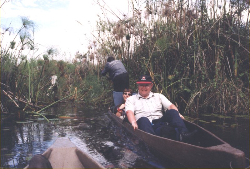


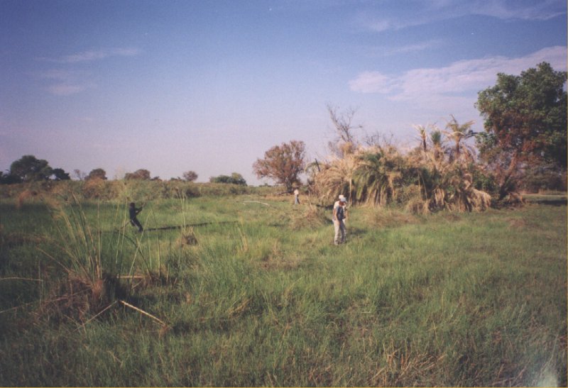
It is a tiring trip for the poler. Sometimes the boat gets stuck and the poler has to use all his
strength to move the boat. At one point we have to step out into the swampy grasland. We see lots
of birds and the delta is an amazing piece of nature. After about na hour we arrive at our campsite.
We will set up our tents here in the middle of nowhere among the wildlife that includes warthogs
and elephants. Later that day we make our first hike into the delta and observe antilope, warthogs
and lots of birds. In the evening we make a fire to cook. It also helps to find your way, since it is
pitchdark in the bush. At night we watch the sky which is full of stars.
Day 11: Okavango Delta

Just after breakfast we get into the mokoro again and after about half an hour we start our hike of
the day. The picture on the left is a termite hill with lots of termite. After a while we see a big
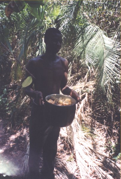
herd of springbok. From a distance they observe us as well. One of the polers is bringing a whole
pan of fresh honey into the camp. The tast of fresh honey is nice. But it is time to leave. The
mokoro brings us back to the motorboat that goes to the base camp in the delta where we set up our
tents again. After a few days without any proper sanitary it feels good to take a shower. During
the evening a snake entering the bar is causing some excitement.
Day 12: Okavango Delta - Ngepi
 After a good night sleep we have to pack our tents again. Beware of spiders and scorpions that could
be lying under the tent. Unfortunately we don't see any of them. The truck brings us back to Ngepi
camp. Again, like every border crossing, we have to fill in papers to leave the country and another
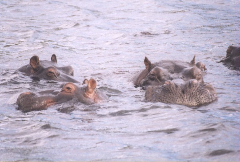
paper to enter the next one. The passport is already full of stamps. At Ngepi we see hippos in the
water that try to impress each other. At some point one of them is going towards the shore and several
people who are closeby run away. It is impossible to run as fast as a hippo, they can run about
40 km/h and they are quite dangerous. We have to keep this in mind when we go to our tents in the
evening right next to the river. During the night a few hippos get out of the water and walk right
next to the tents. You realize this place is not a zoo, you have become part of nature. A bit
sad that the Australian campers on the camp site don't have this feeling, most of them only think
about getting drunk and having a good time.
After a good night sleep we have to pack our tents again. Beware of spiders and scorpions that could
be lying under the tent. Unfortunately we don't see any of them. The truck brings us back to Ngepi
camp. Again, like every border crossing, we have to fill in papers to leave the country and another
paper to enter the next one. The passport is already full of stamps. At Ngepi we see hippos in the
water that try to impress each other. At some point one of them is going towards the shore and several
people who are closeby run away. It is impossible to run as fast as a hippo, they can run about
40 km/h and they are quite dangerous. We have to keep this in mind when we go to our tents in the
evening right next to the river. During the night a few hippos get out of the water and walk right
next to the tents. You realize this place is not a zoo, you have become part of nature. A bit
sad that the Australian campers on the camp site don't have this feeling, most of them only think
about getting drunk and having a good time.
Day 13: Ngepi - Etosha
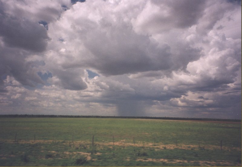
The drive to Etosha is long, so we leave early in the morning. Most of the day is sunny, but on our
way to Etosha it gets cloudy. Not far away we see heavy rain falling out of the sky, but we are lucky
that the rain is not where we drive. As soon as we are at Etosha the weather is getting better.
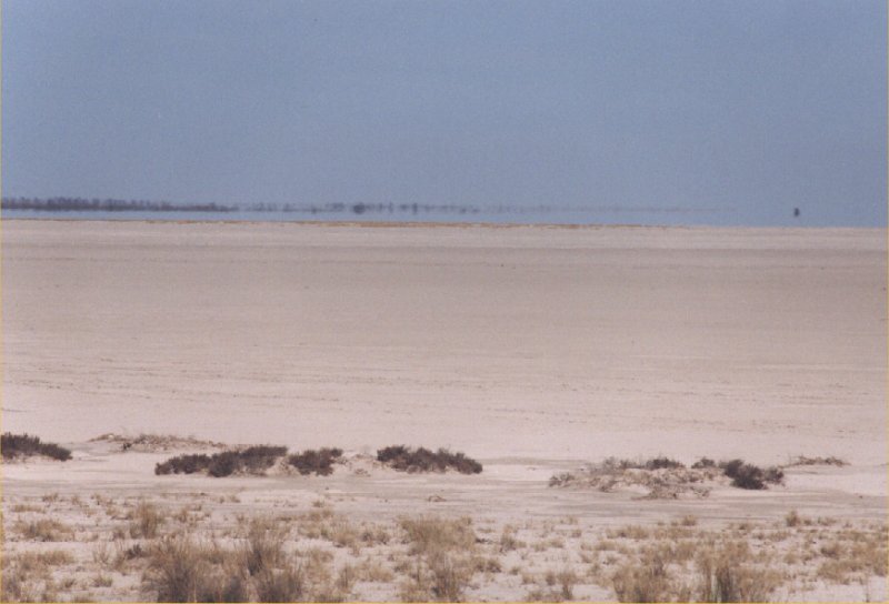
Etosha is one of the worlds best game parks. Etosha means 'Great White Place of Dry Water', referencing
to the bright Etosha Pan, the huge empty saline desert covering over 5000 km2. It is
surrounded by bush and grassland. The park itself is more than 20.000 km2 and contains
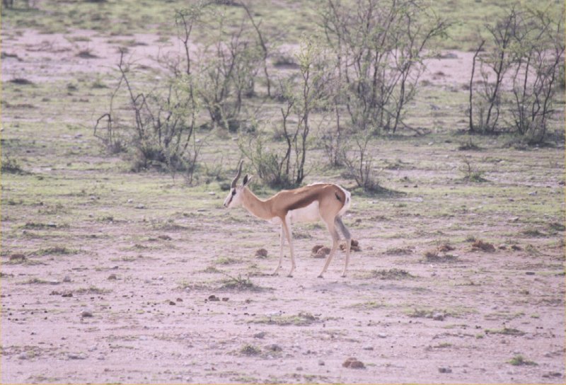
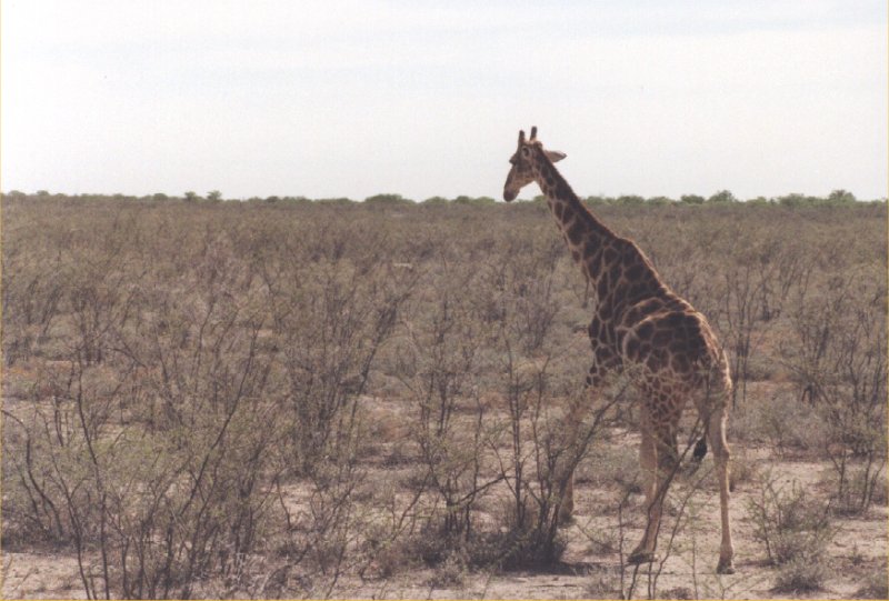
lots of different animals. Giraffe, wildebeast and springbok are very common.
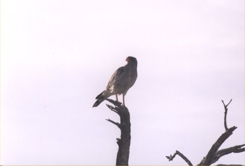
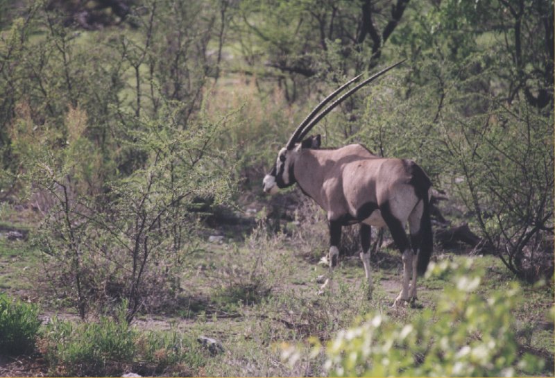
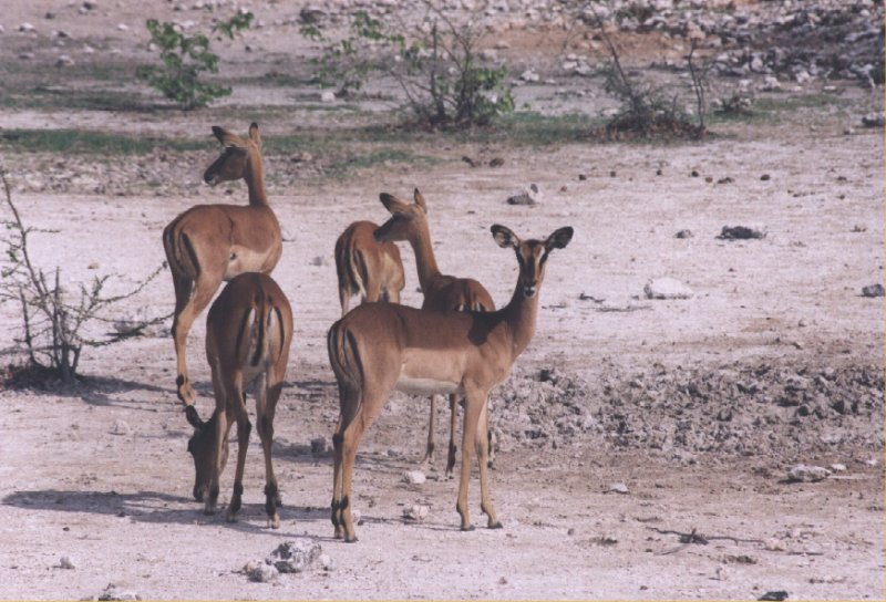
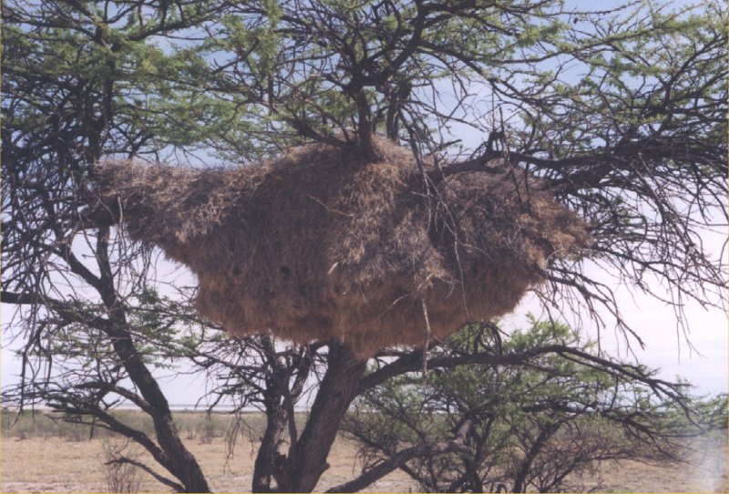
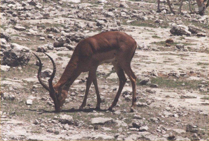
Birds of pray like eagle and hawk are also seen. The second picture shows a gemsbok and on the right
you see impala. In the trees you can find huge nests made by the weaver bird. This picture on the
right shows a nest that is about two metres wide.
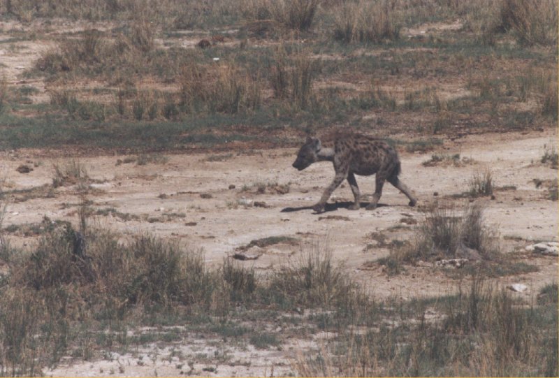
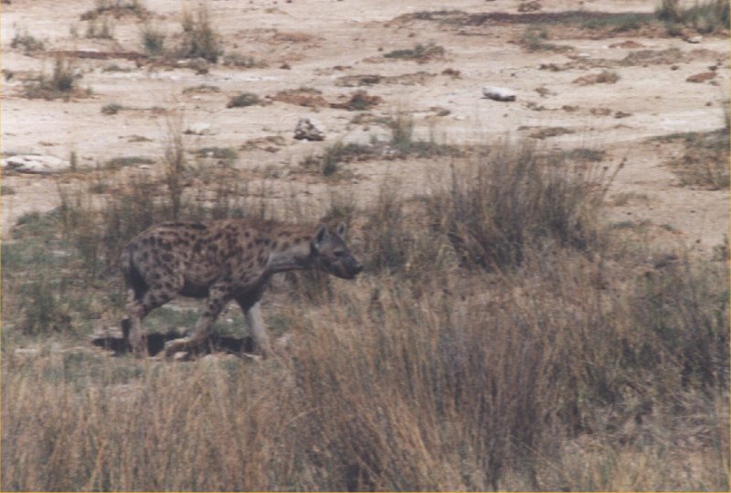

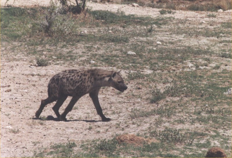
The next scene is something you don't see often. Hyena's scavenging for food during the daytime.
They have found a giraffe and still eat bits of it. They probably found the animal during the
night. Hyenas are usually only active during the night.
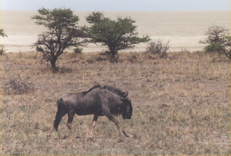
We see more wildebeests, antilopes, hartebeests and elands. On the campsite the birds are very tame
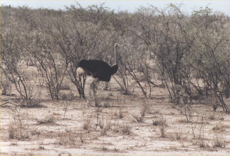
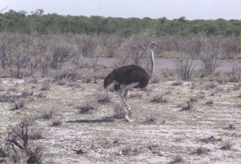
and try to find pieces of bread after the lunch. From a distance we are observed by an ostrich.
Day 14: Etosha


Day 15: Etosha

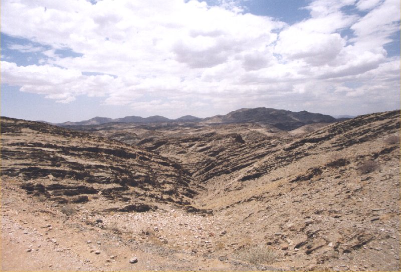
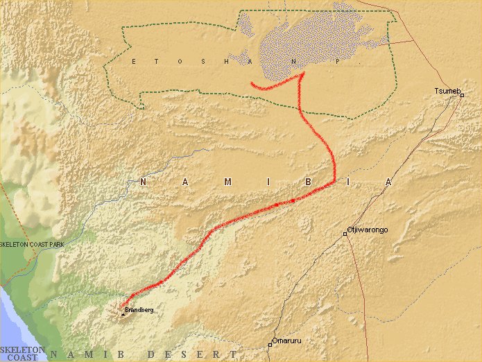
Day 16: Etosha - Twijfelfontein
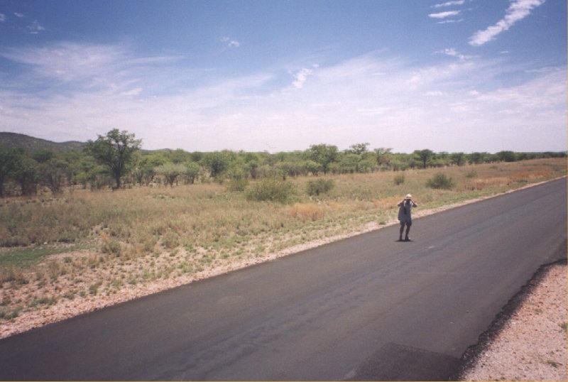

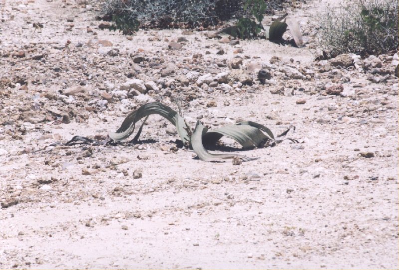

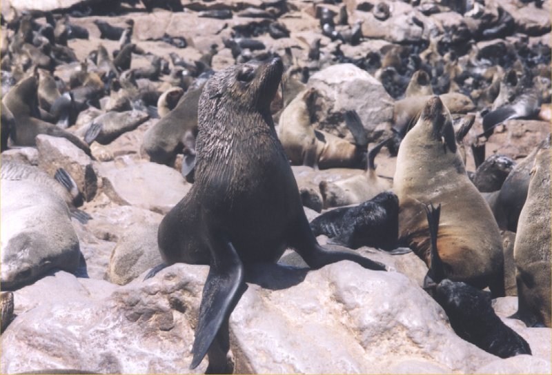
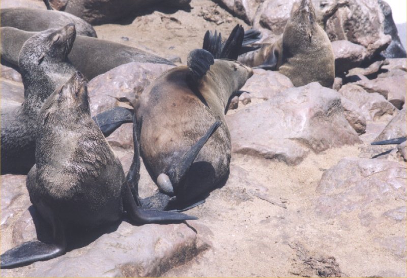
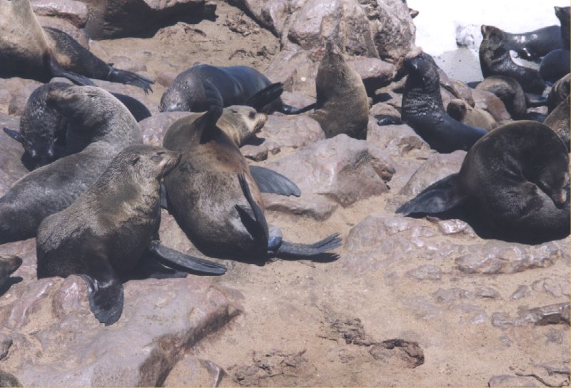
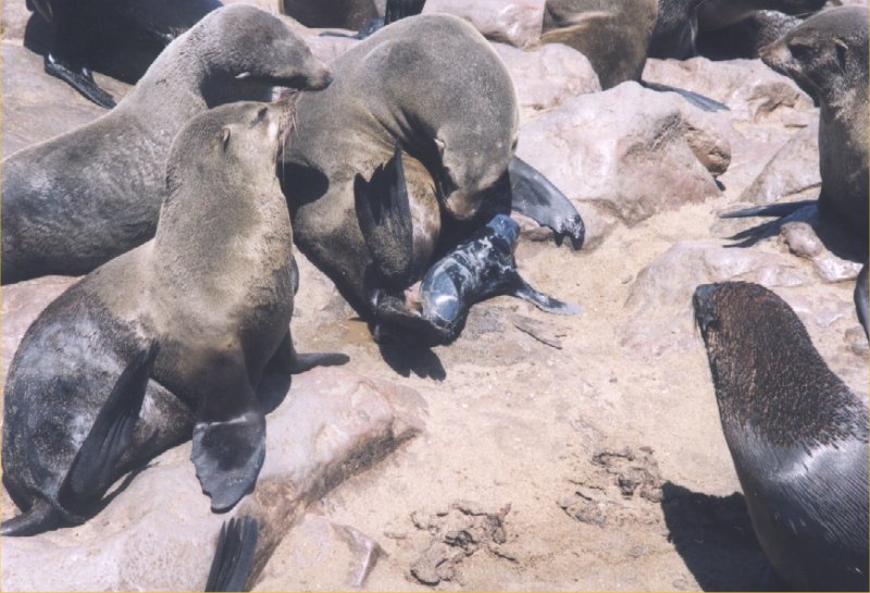
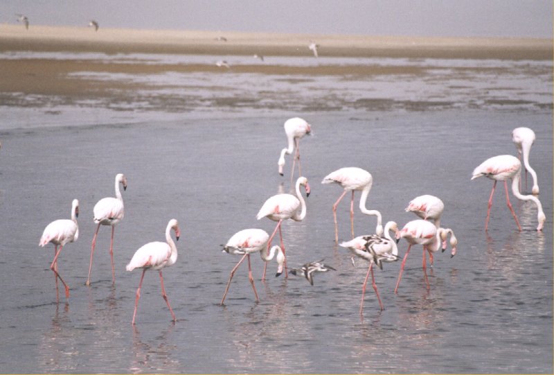
Day 17: Twijfelfontein -Brandberg - Cape Cross - Swakopmund


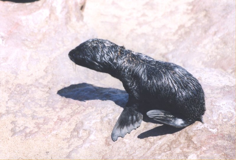
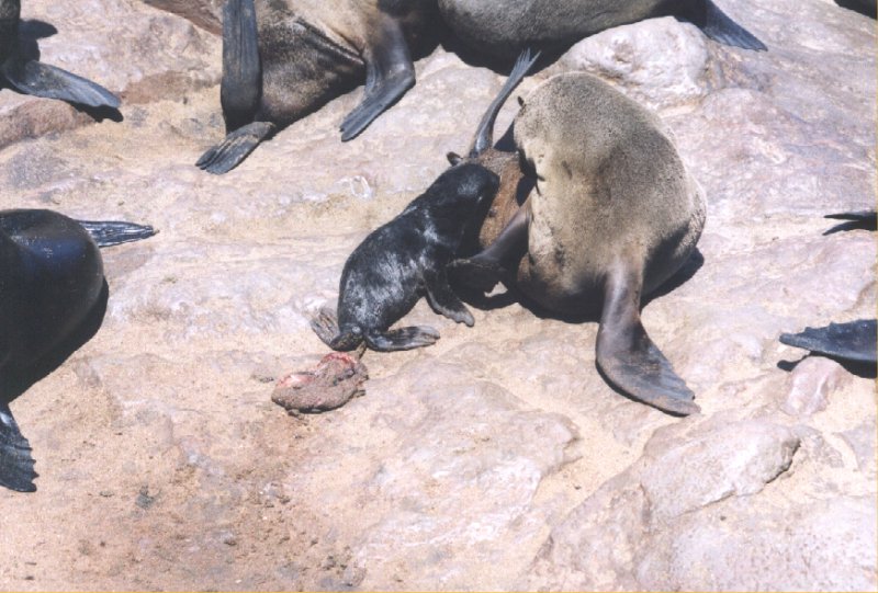
Day 18: Swakopmund
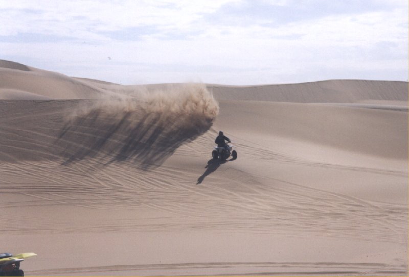
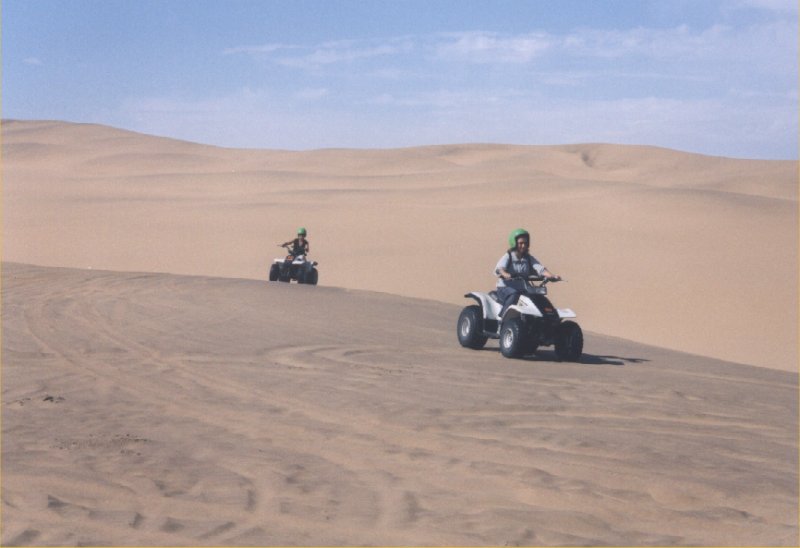
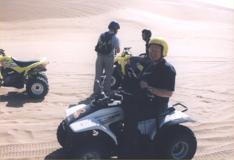
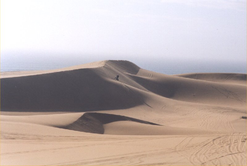
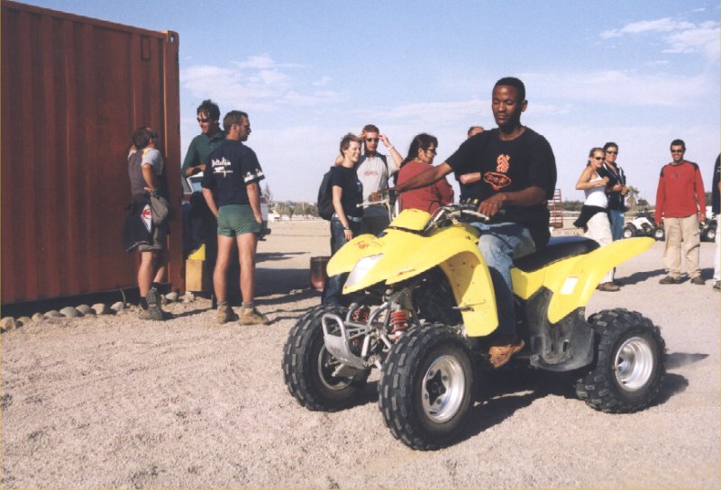
Day 19: Swakopmund


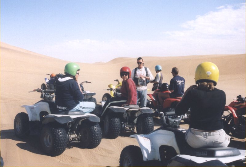
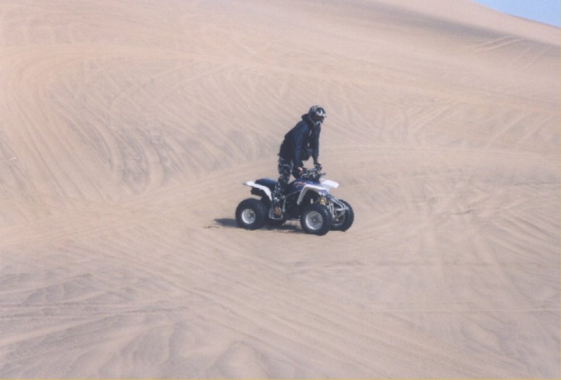
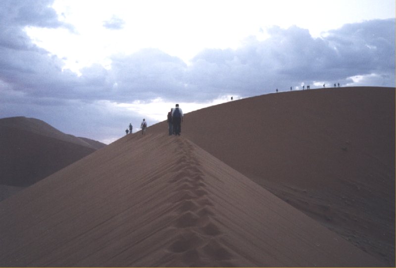
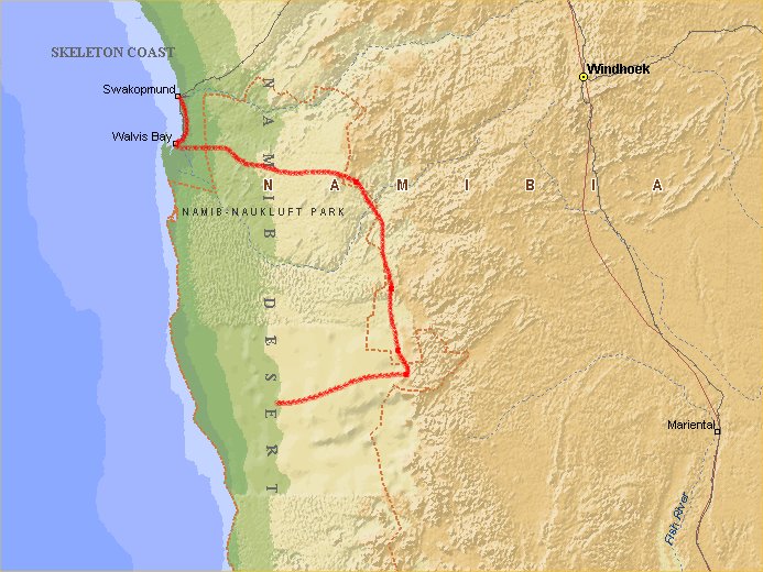
Day 20: Swakopmund - Sesriem - Sossusvlei

Day 21: Sesriem - Sossusvlei
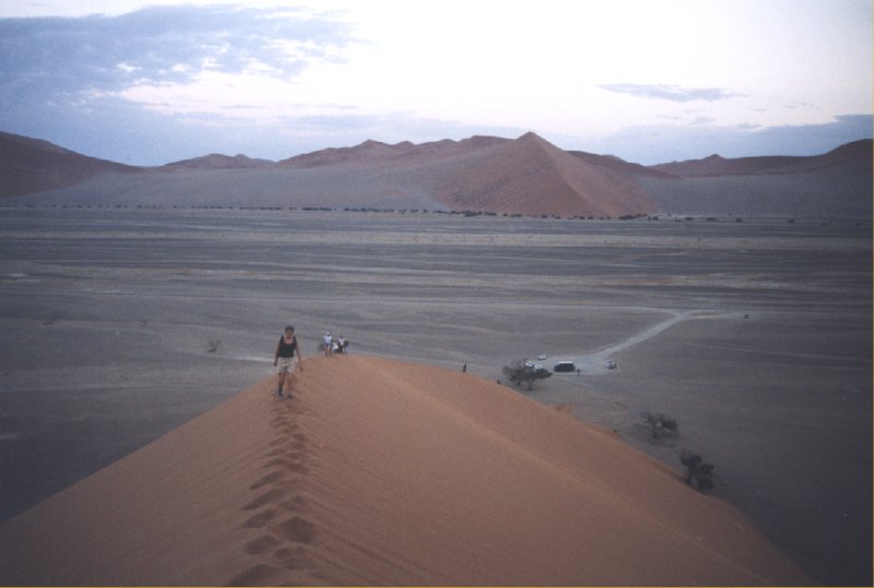
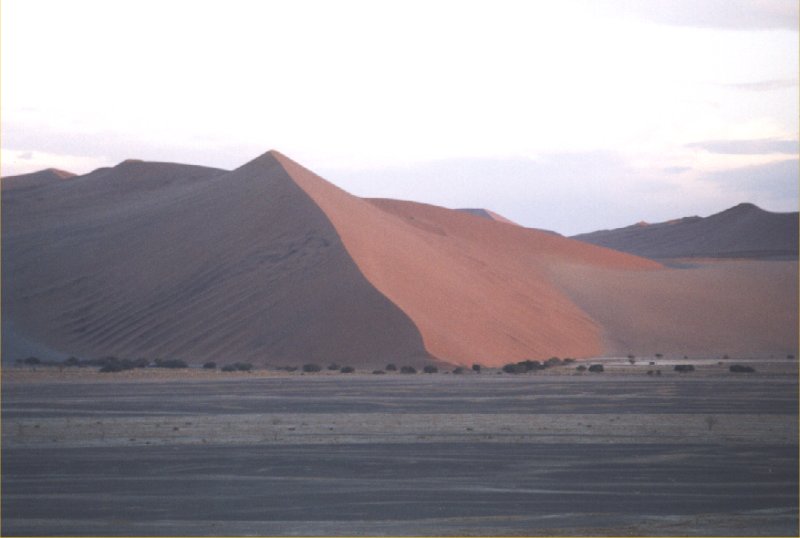

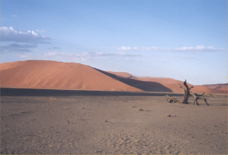


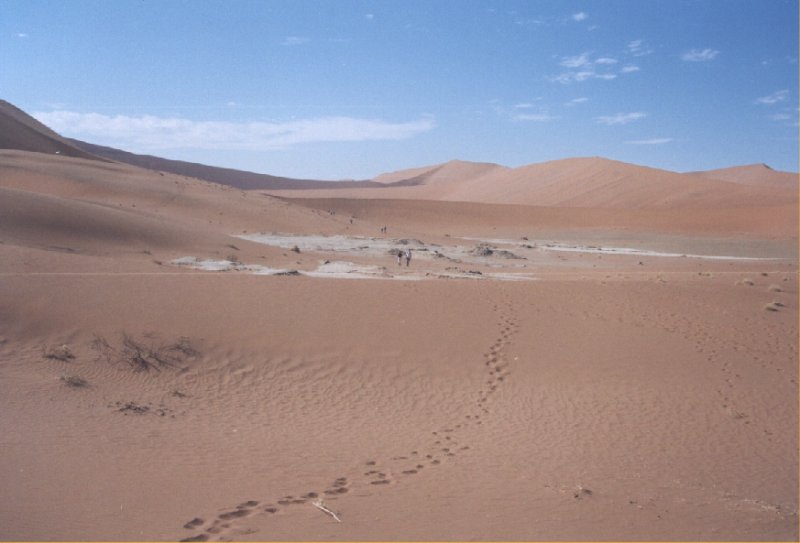
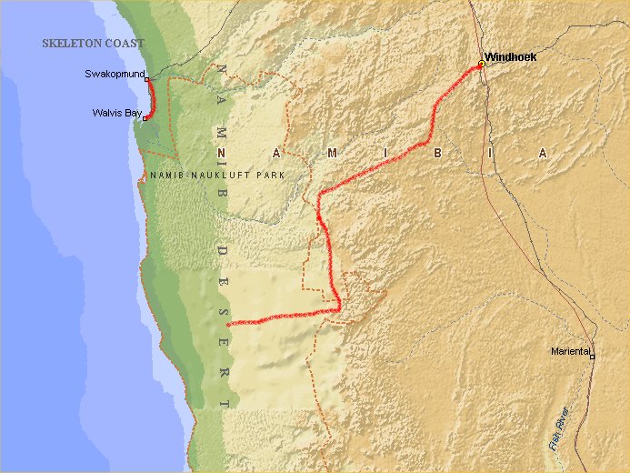
Day 22: Sossusvlei - Windhoek
Day 23: Windhoek - Johannesburg
Day 24: Windhoek - Johannesburg - Amsterdam
This document was last updated on 10/01/04